
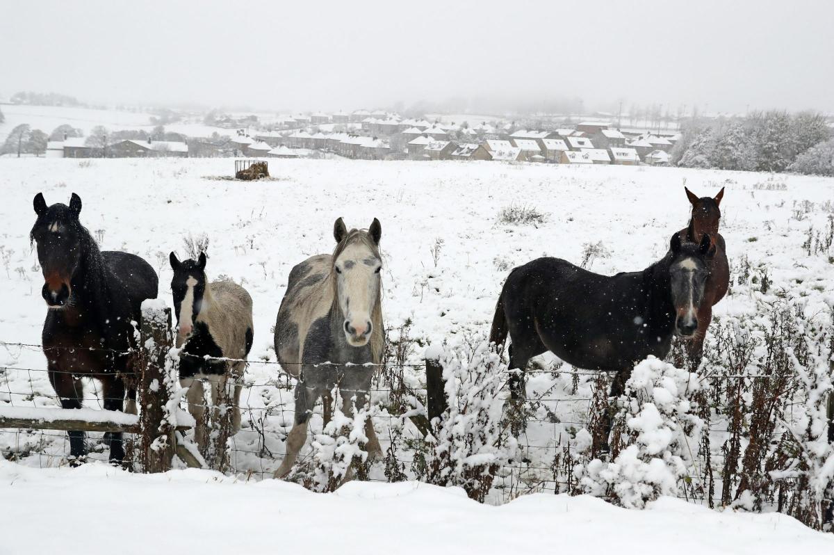
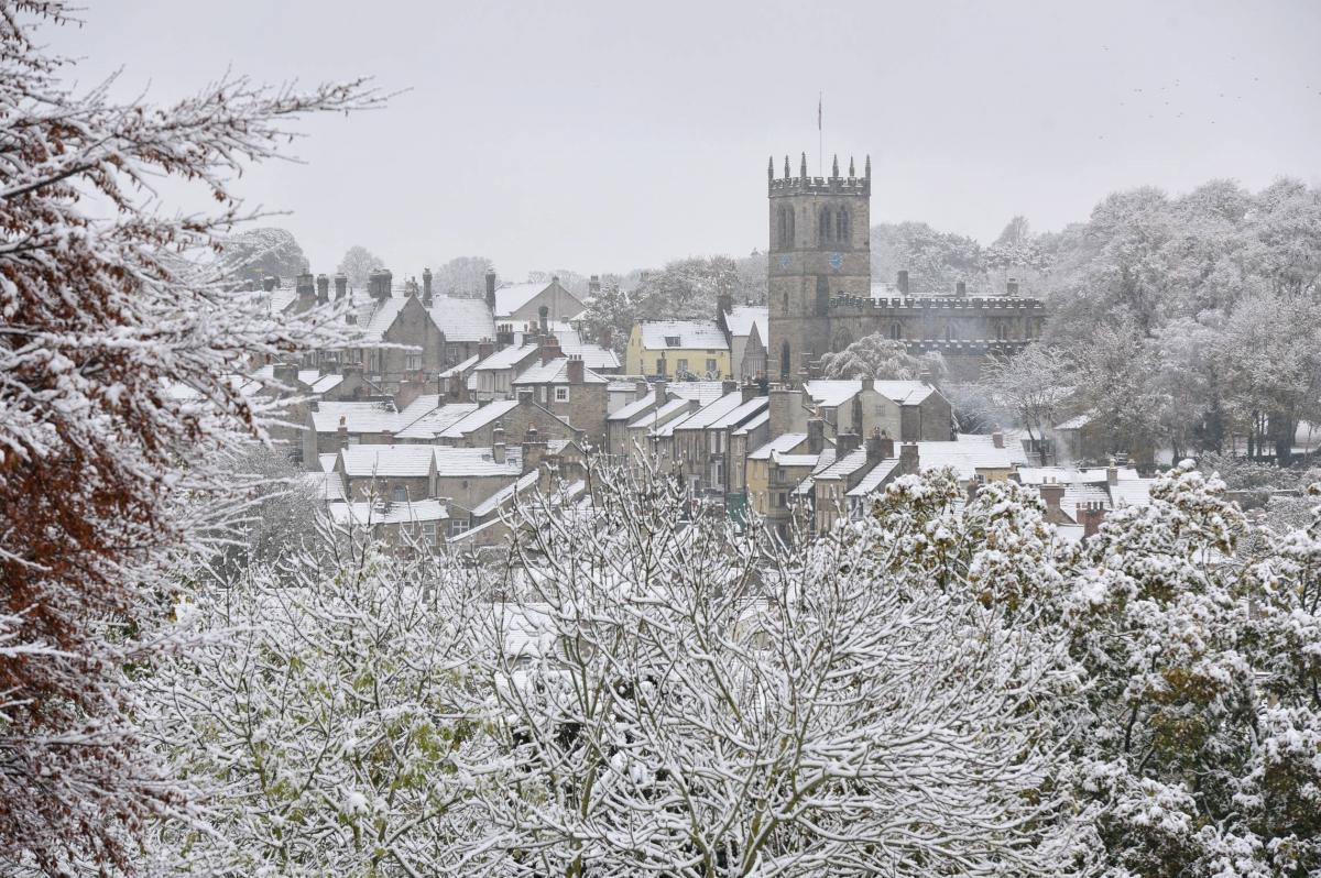
A COUNTY Durham town took the brunt of the snowfall as the first major shower swept across the UK.
The deepest level seen by the Met Office was recorded in Barnard Castle which was left under 13cm of snow.
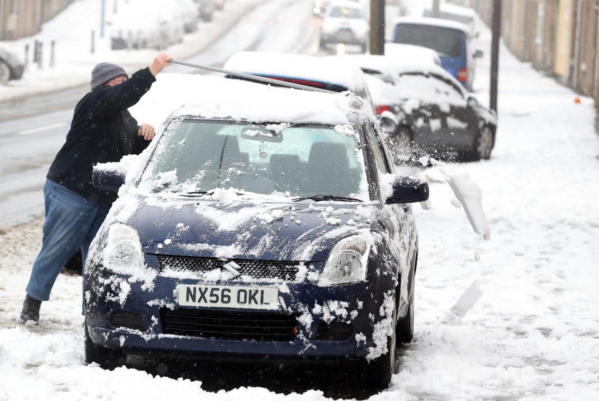
Meanwhile, people across the region faced disruption as the cold snap caused travel headaches for motorists, airports, bus companies and schools.
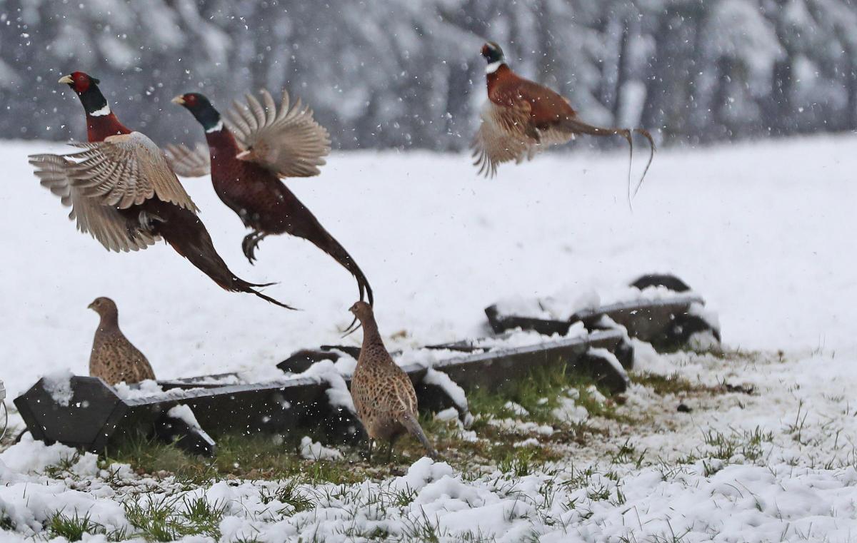
Several centimetres of snow fell across a swathe of the country from the Peak District northwards and into Scotland.

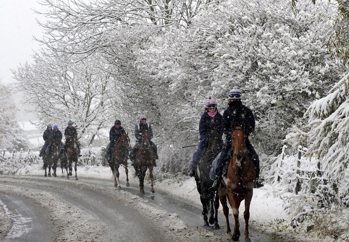
Horses in the Snow at Tow Law in County Durham.Photo: PA/Owen Humphreys
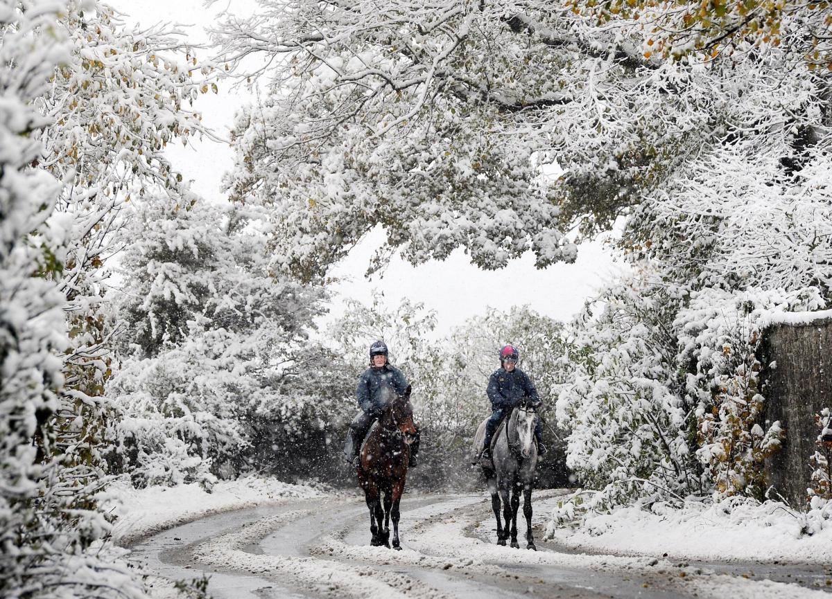
In the region, wintry scenes were captured at Hamsterley Forest, Tow Law, and Bowes where commuters battled with the conditions.
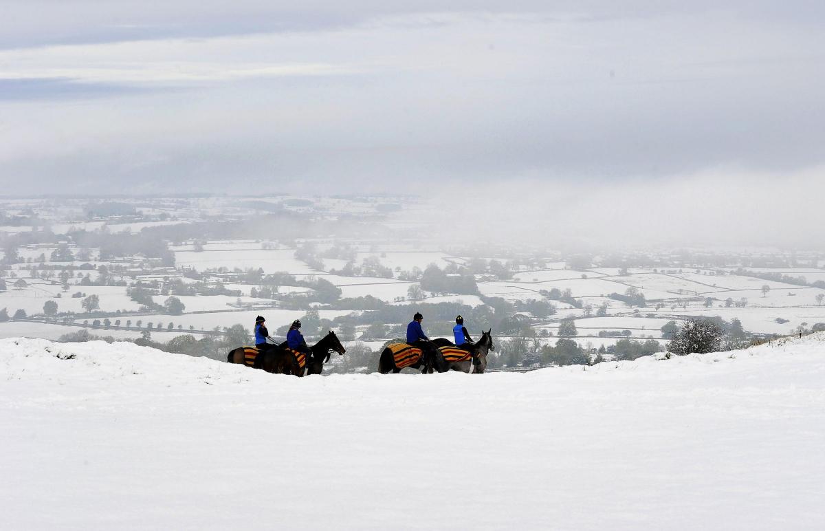
High-level routes across the Pennines were hit by the snow which fell across the north of the country from Tuesday evening.
Highways England issued a severe weather alert, urging motorists in the north of England to check conditions before setting out and ensure they had a winter kit in their vehicles.
Durham Police said: “Parts of Durham and Darlington are affected by snow and ice this morning, drive carefully and allow extra time for your journey.”
On Tuesday, the AA said it had experienced its busiest day of the year so far with more than 10,000 calls. Many drivers had flat batteries and other cold weather-related problems
The Met Office on Wednesday issued a yellow warning for ice for eastern England between the Humber and the Scottish border as light winds and plummeting temperatures look set to freeze the melting snow and rain.
But a Met Office spokesman on Wednesday night confirmed the wave of snow would not be repeated in coming days.
He said: “Most of the snow has gone but there will still be some lying snow on higher routes.”
Clouds were expected to clear through the night – making way for frosty conditions across the area and plunging temperatures to as cold as minus two degrees.
Although there will be a bright start to the day, the spokesman said it would not take long before rain showers move in from the west.
Some could be heavy with a risk of hail and thunder but will ease off into the afternoon.
Despite some sunshine and highs of eight degrees, unlike the four degrees seen on Wednesday, a breeze is expected to keep the air feeling cooler.
Friday will see a fine and crisp frosty start with clouds thickening later.
With no more snow on the horizon, Saturday is understood will be wet and windy with sunshine and showers on Sunday.


Comments: Our rules
We want our comments to be a lively and valuable part of our community - a place where readers can debate and engage with the most important local issues. The ability to comment on our stories is a privilege, not a right, however, and that privilege may be withdrawn if it is abused or misused.
Please report any comments that break our rules.
Read the rules here