
LONG Preston is an attractive village on the A65 with some wonderful walks in the quiet dales to its north and east. I hold my Navigation Courses here and without fail the participants talk about the quiet and loveliness of the walking. This is a short taster walk but once visited I can assure you will return.
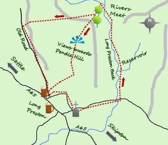
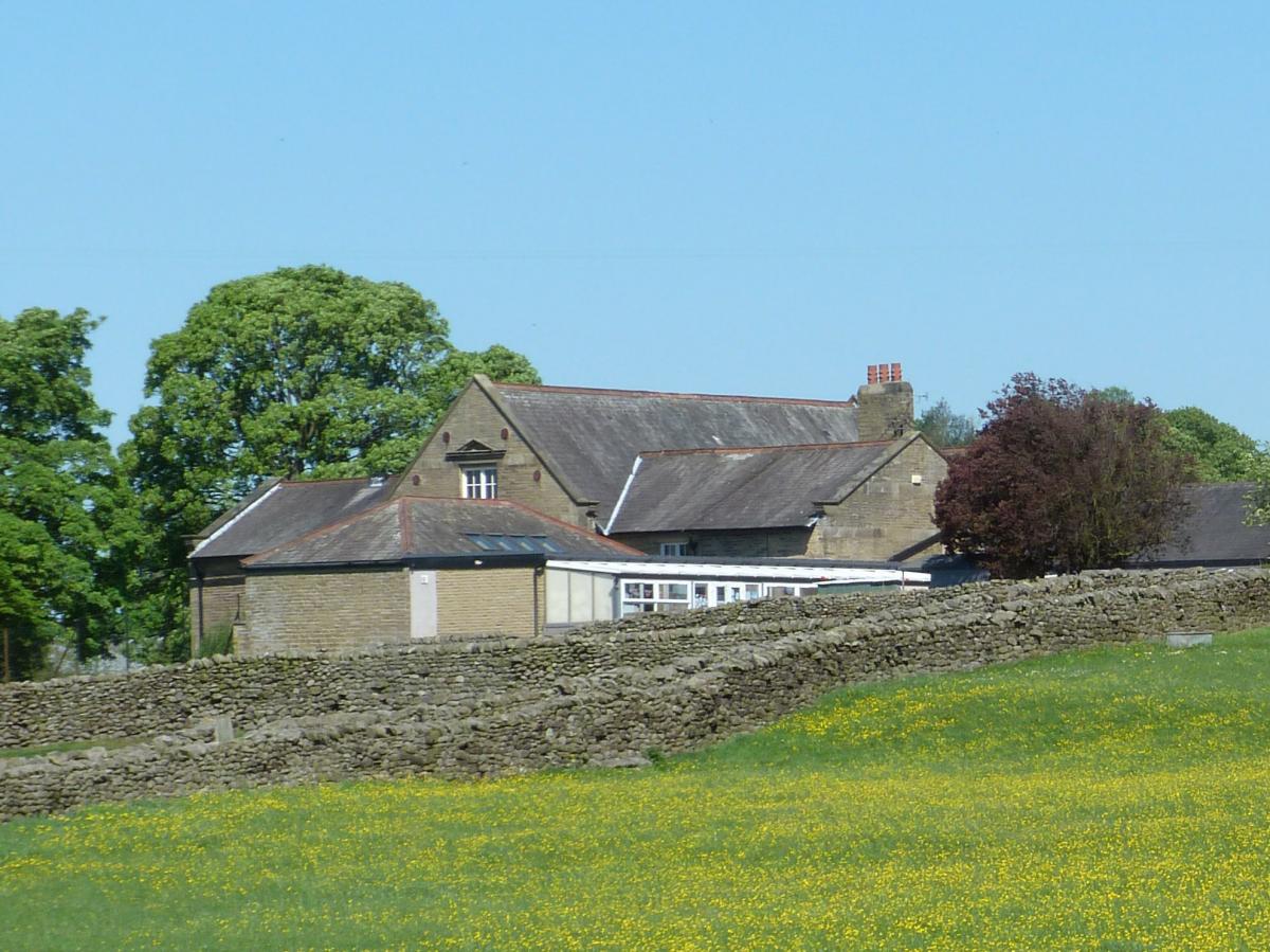
I start the walk from outside one of the 2 excellent pubs in the village, the Boars Head or the Maypole. The Maypole is on the correct side of the A65 so the described walk starts here. Head east up the lane till it reaches and passes the Primary School. Follow the lane as it bends right and heads towards the Norman church of St Marys. The entrance is to the right and it is worth exploring the large, well-kept graveyard.

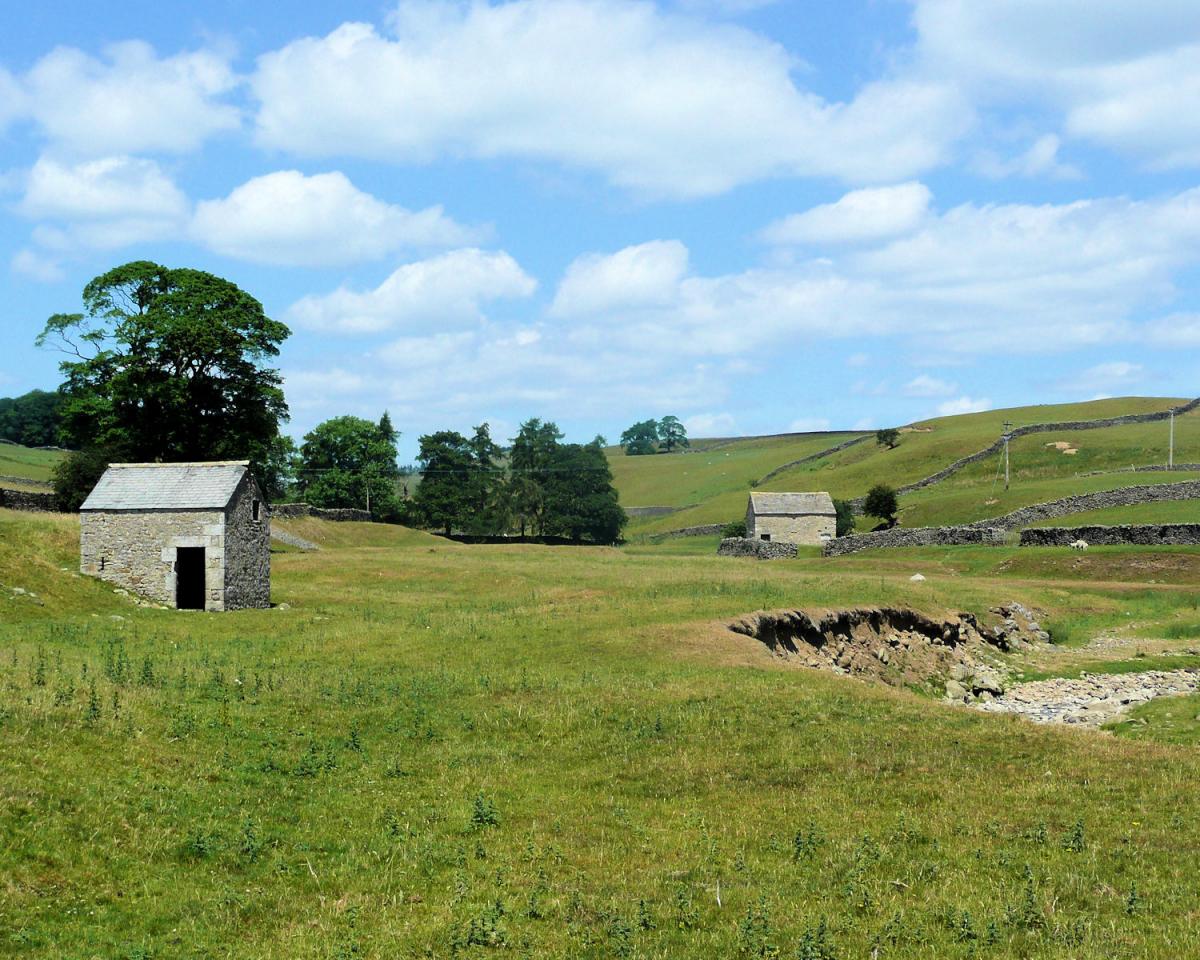
If you visit the church turn head east along the lane for 250 m till it reaches a river (Long Preston Beck). Before arriving at the beck there are some stables on your right and as well as some horses, pigs and chickens there are 3 alpacas. Just past the beck a stile (and a new footpath sign) on your left leads to a lovely section of riverside walking.
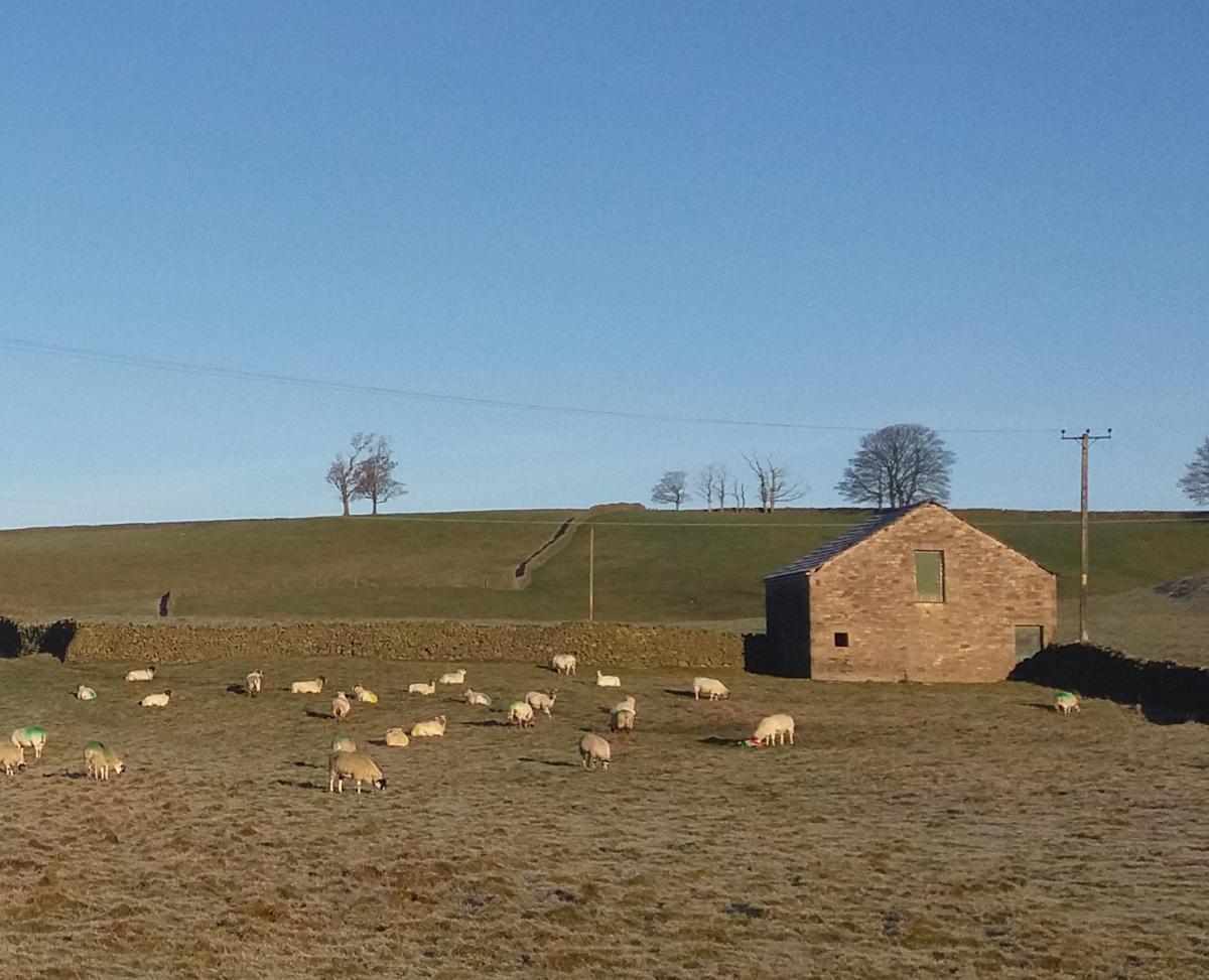
After nearly ½ a mile there is a stile and then a gate before the path opens out again. The circular wall above you is the Long Preston water supply, if you can see in, it always looks worryingly empty even after the recent rains! The path continues along the riverside through open fields, before a ladder stile leads to a narrow path and then a meeting of 2 rivers. The river to the right comes from the moors and tumbles steeply down whilst the Beck itself carries on up towards Settle.

Cross both rivers via 2 footbridges and head for the diagonal path to your left skirting the slope to the west. This is the only climb of the walk. At the top of the path pass through a gate and take the 2nd stile on the left. The first leads in to New Pasture Plantation. The stile is the first of 8 stiles as you make your way back towards Long Preston village. The initial section is over a flat field but after the 2nd stile the path drops, steeply at times towards the village. The views over Long Preston and beyond to Pendle Hill and the Forest of Bowland are gorgeous, particularly in the low winter light early in the morning or at sunset. The final stile leads to a quiet lane, turn left and stroll back to the Maypole (or Boars Head)

It is possible to take an alternative route at New Pasture Plantation if you want to avoid the stiles by sticking to the farm lane and turning left at the road after ½ a mile.
n Jonathan Smith runs Where2walk, an outdoor business in the Yorkshire Dales. He has written his own book, the Dales 30, which describes the highest mountains in the Dales. He also runs one-day navigation courses for beginners and intermediates, and learn a skill, climb a hill weekends. To find out more details on any of the above and details of many more walks in the area visit where2walk.co.uk.
Fact Box:
Distance: Roughly 3 miles
Height to Climb: 75m (240 feet)
Start: SD 834582. On Maypole Green or start with a coffee in the pub and use their car park.
Difficulty: A short half day, perfect for the winter months.
Refreshments: Two excellent pubs in the village; the Maypole which is more of a restaurant and the more traditional Boars Head Inn.
The route description and sketch map only provide a guide to the walk. You must take out and be able to read a map (O/S Explorer 2) and in cloudy/misty conditions a compass (essential on this walk). You must also wear the correct clothing and footwear for the outdoors. Whilst every effort is made to provide accurate information, walkers head out at their own risk.
Please observe the Countryside Code and park sensibly.


Comments: Our rules
We want our comments to be a lively and valuable part of our community - a place where readers can debate and engage with the most important local issues. The ability to comment on our stories is a privilege, not a right, however, and that privilege may be withdrawn if it is abused or misused.
Please report any comments that break our rules.
Read the rules here