



Residents and visitors have raised concerns after land surrounding one of North Yorkshire’s most important prehistoric monuments was put forward as a possible location for housing.
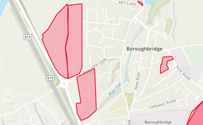
Three fields containing or adjoining the Devil’s Arrows, on the outskirts of Boroughbridge, have been submitted for consideration through North Yorkshire Council’s “call for sites” process for its new Local Plan.
However, there is currently no planning application for the proposed homes and no decision has been made that the land will be developed.
The call for sites allowed landowners, developers and other interested parties to suggest land that could potentially be used to meet North Yorkshire’s future needs, including housing, employment, community facilities and other development.

One of the sites listed by the council is land to the south of Roecliffe Lane in Boroughbridge, identified as HK-BOR-0015, with residential development put forward as its proposed use.
Other nearby submissions include HK-BOR-0010, covering land to the east of the A168 and west of Boroughbridge, which has also been put forward for residential use.
A further site, HK-BOR-0011, covers land west of Marina Lane. Residential development is listed as its proposed use, although the submission also includes open space, community use and green space.
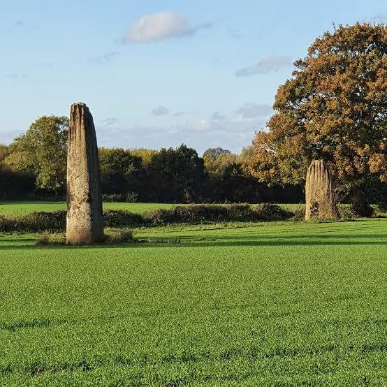
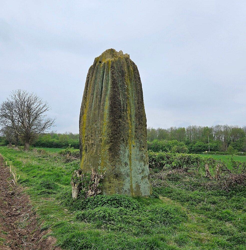
The submissions have prompted concern locally because of their proximity to the Devil’s Arrows, three enormous standing stones which form one of the best-known prehistoric landmarks in the area.
Historic England describes the scheduled monument as a “174-metre-long stone alignment dating from the Late Neolithic or Early Bronze Age”.
The organisation says the three stones are among the largest found in any stone alignment in Britain, with the southern stone the second-tallest standing stone in the country.

It also says archaeological investigations have revealed extensive prehistoric remains around the stones, which form part of a wider ritual landscape around the River Ure.
A social media post highlighting the sites said development could “harm the setting and significance of the monument” and urged people to “protect the area’s history”.
The post attracted several concerned responses, with one person saying: “It’s part of an ancient landscape.”
Others said the Arrows formed an important part of a much wider prehistoric landscape in Yorkshire, while some questioned how close any potential development could be to the stones.
There was also criticism of the prospect of further development on greenfield land, while some residents asked how they could object to any proposals.

However, the council has stressed that inclusion in its call for sites does not mean a site has been allocated for development or granted planning permission.
North Yorkshire Council says none of the submitted sites has yet been assessed and that “no decisions have been made on any of the sites at this stage”.
Planning officers will assess submissions on issues including heritage, flooding, highways, schools and ecology before deciding which, if any, should progress through the Local Plan process.
Read more
Plans for 150 homes on North Yorkshire green belt land submitted
Holiday park expansion planned to meet need for more spacious pitches
Traveller site misses enforcement deadline as MP warns of rising frustration
The council says it is “common for considerably more land to be submitted through a call for sites than is eventually required”.
Residents will be able to comment during a future consultation once the initial assessment work has taken place.
Even if land were eventually allocated for housing in the Local Plan, that would not itself amount to permission to build.
A developer would normally still need to bring forward a planning application, which would go through the separate planning process.


Share