

THE earliest map of a North-East city has gone on display as part of an exhibition shedding light on the ancient art of cartography.
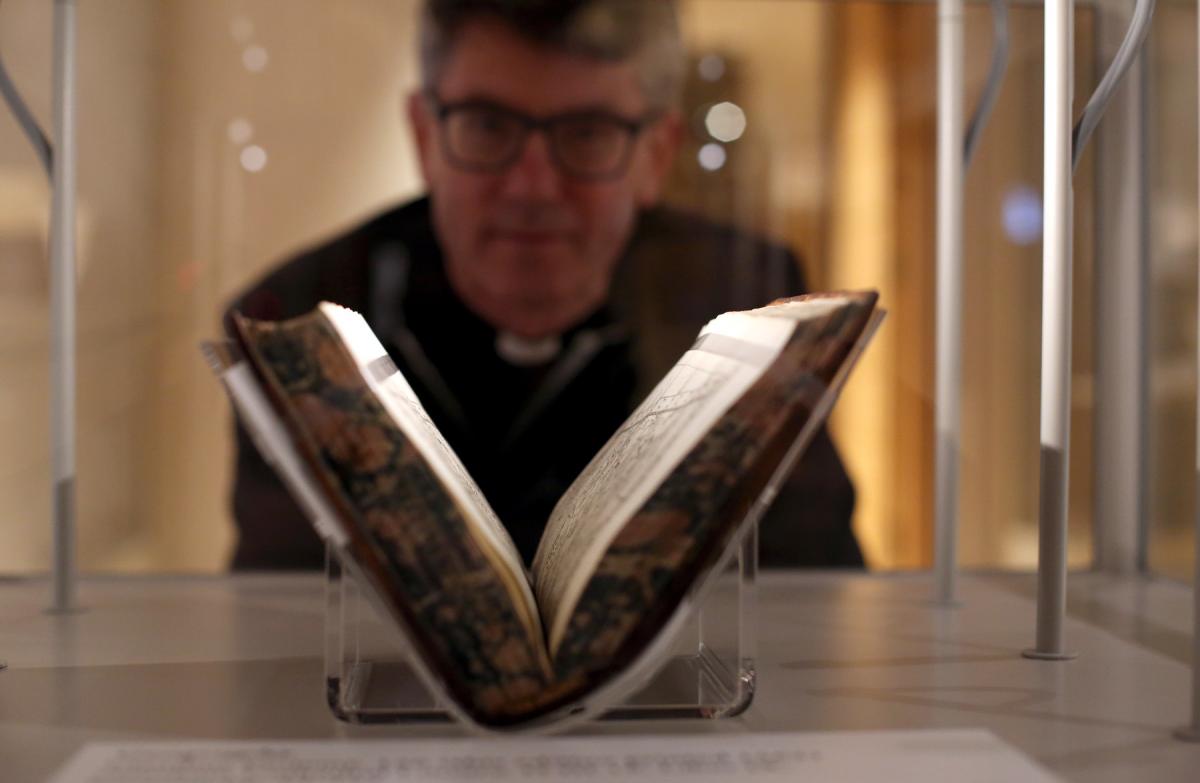
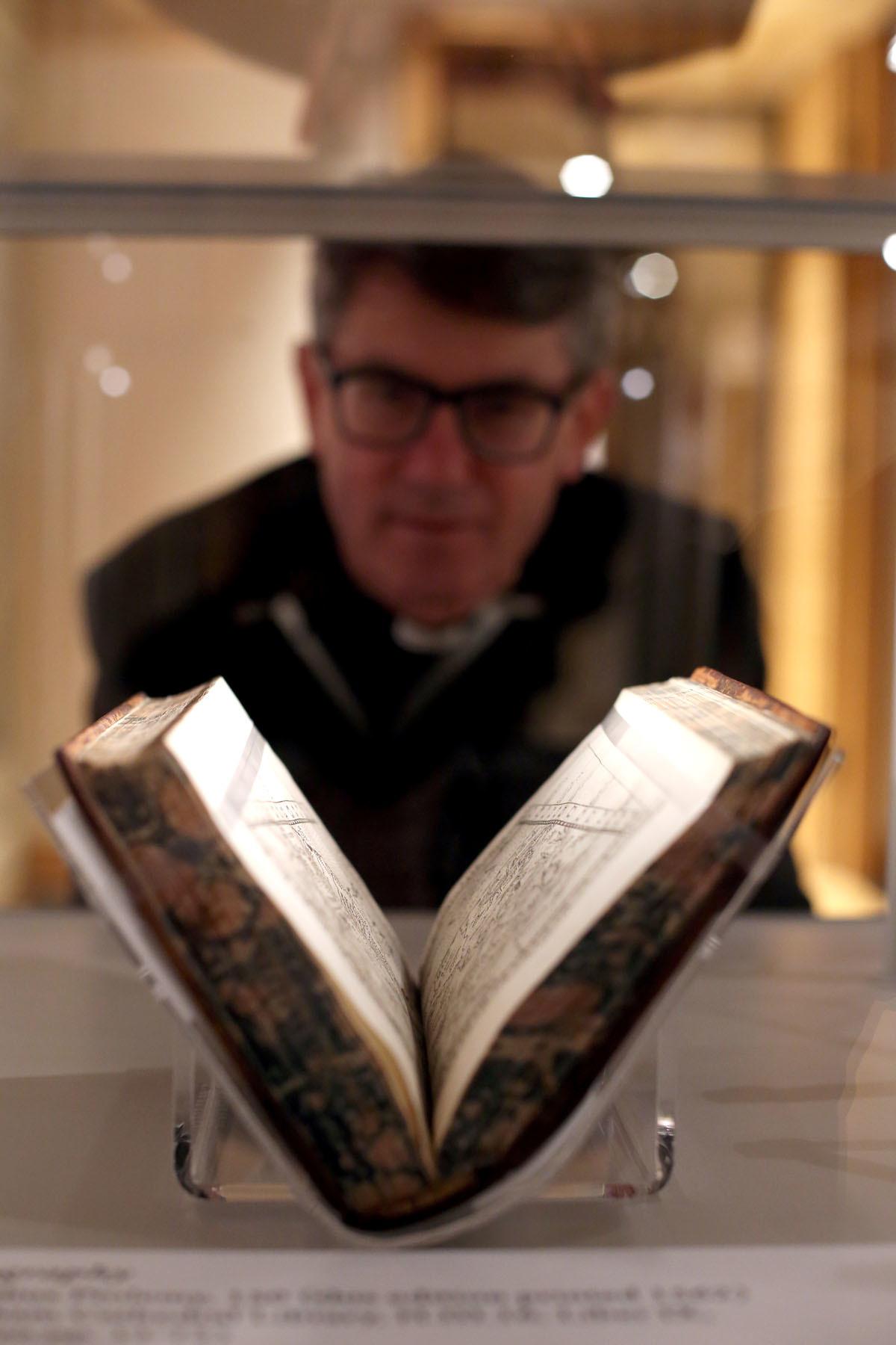
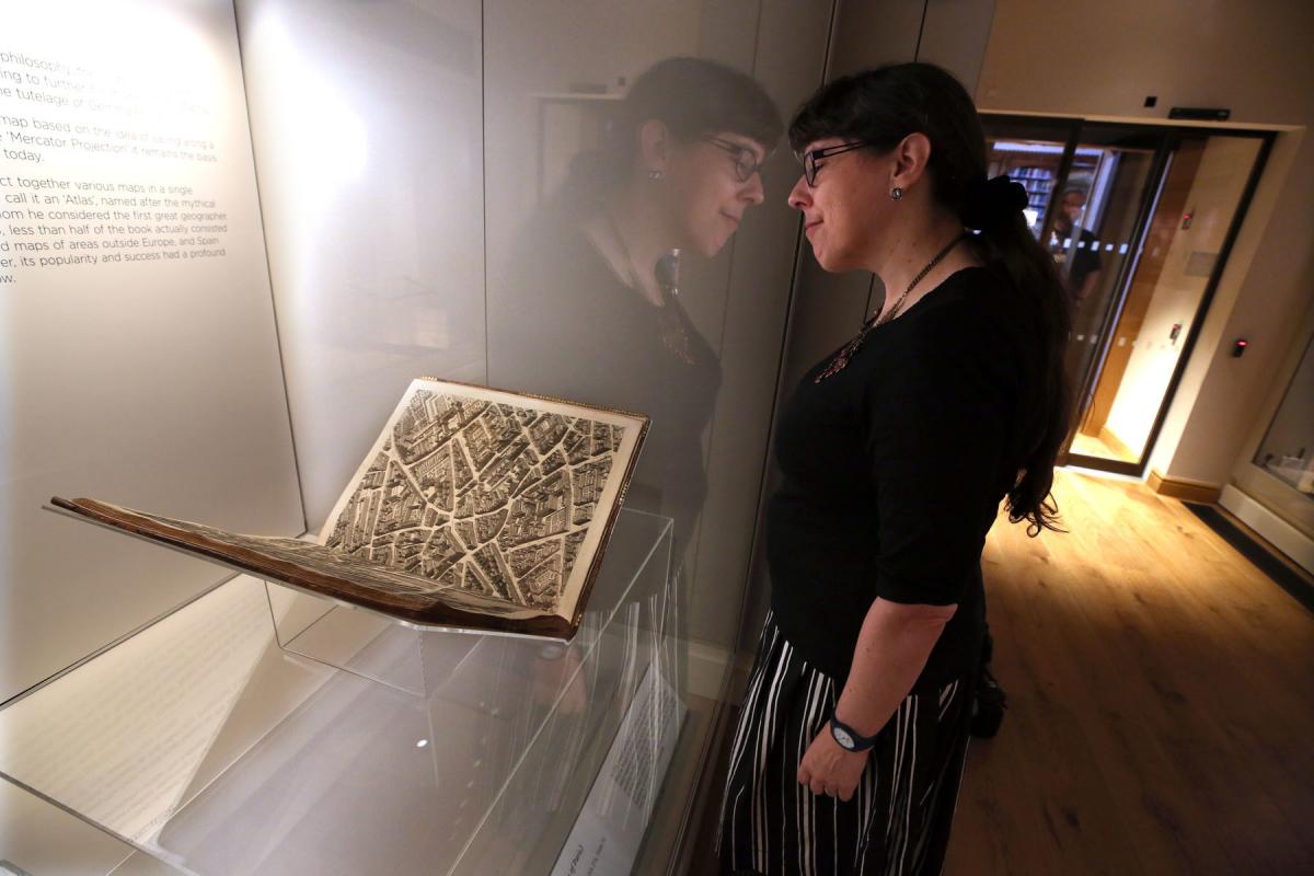
Rare maps, including one of the few first editions of what is regarded as the the world’s first modern atlas, is on show at Durham Cathedral, as well a number charting the city and surrounding area.
Shaun McAlister, exhibition assistant at Durham Cathedral, said: “Mapping the World is a chance for people to explore an extraordinary range of rare and exquisite maps, charts and atlases from the Durham Cathedral Library collections.
"The artefacts have been gathered over centuries by the Benedictine monastic community and later the clergy of Durham Cathedral.
"The maps on display show the development of cartography that allowed exploration to become a safer enterprise.
"As well as containing an amazing amount of accurate detail, these maps are works of art in their own right and are illustrated with various ships and sea monsters that warned travellers of the dangers they faced at sea.”
The exhibition explores the growth of interest in map making between the 15th and 19th century and how the use of maps evolved from documents to record journeys already taken, into the invaluable tools we still rely on to navigate the world today.
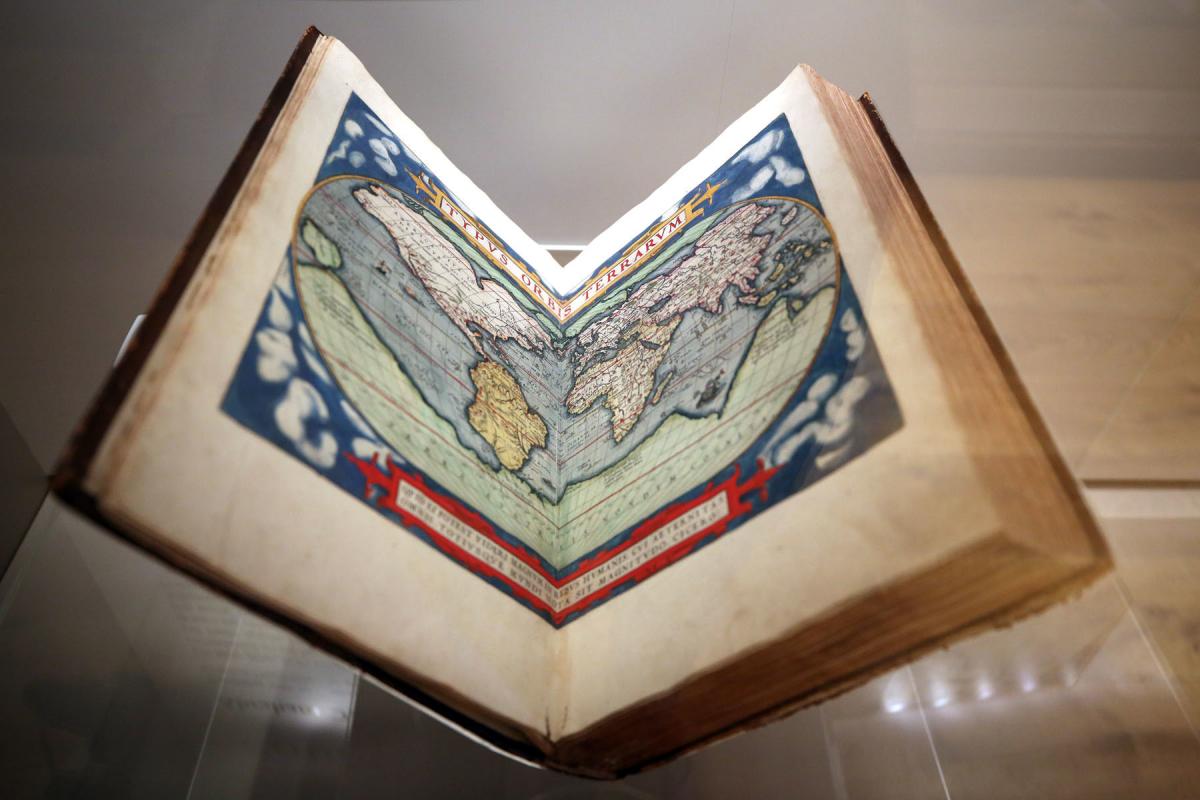
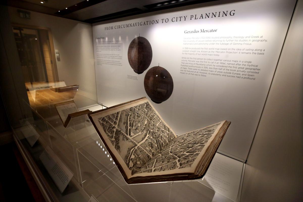
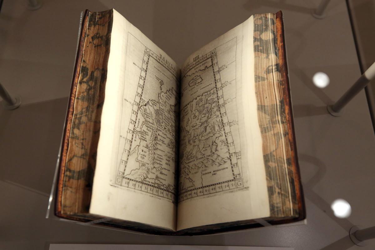
Among the maps on display is a 16th century reproduction of a 150AD Roman map by Ptolemy, containing the complete geographical knowledge of the Roman Empire and one of the few surviving first edition volumes of Ortelius’ Theatre of the World, which was published in 1570 and is regarded as the world’s first modern atlas.
Although composed of maps drawn by a collection of contributors, it was Ortelius who became known for the work. It was so successful that four supplementary volumes followed and in 1575 Ortelius was appointed Royal Geographer to Philip II of Spain.
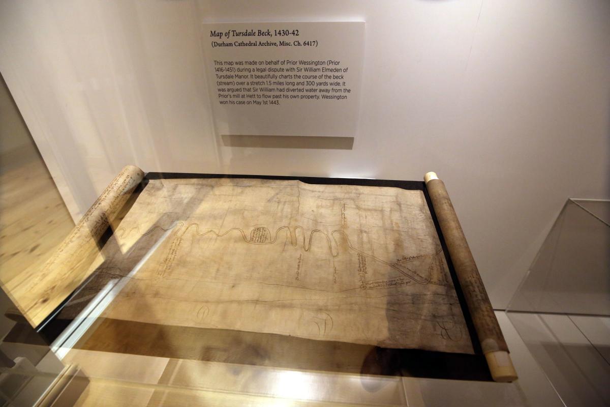
The exhibitions also features early maps of Durham, which has been mapped in great detail over the centuries, due to the presence of the cathedral and castle.
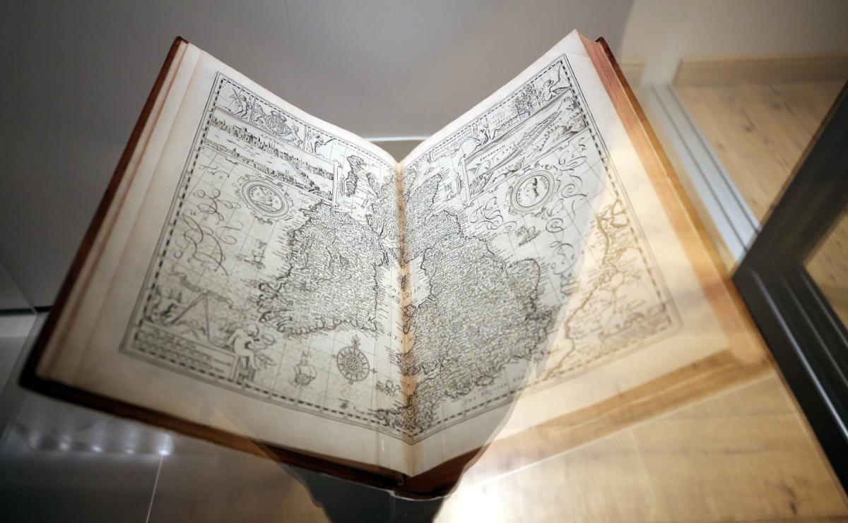
On display is the earliest printed Map of County Durham, produced in the 16th century by cartographer Christopher Saxton, who was famous for completing the first atlas of England and Wales, the unfinished work of Durham Cathedral Canon, John Rudd.
The map shows pictorial detail of towns and landmarks, like Durham Cathedral, as well as rivers ‘Were Flu’ and ‘Derwent Flu’.
Saxton however omits detail of roads, implying that navigation was done by river bank or boat.
So pivotal was this map, it became the main source for all maps of Durham produced for the next 150 years.
One such map is Thomas Forster’s Map of Durham which he began working on in the 18th century. The first edition work contains the earliest detailed plan of Durham with the cathedral and castle in tow.
Produced at a small enough scale to list 100 different places and features of the city, the map worked as an easy aid to identification and navigation and is a fascinating resource to compare with what we know of the city of Durham today.
The community gallery also features a selection of artwork created by pupils from year nine at Parkside Academy, in Willington.
Mapping the World is at Durham Cathedral's Open Treasure until January 18.

