
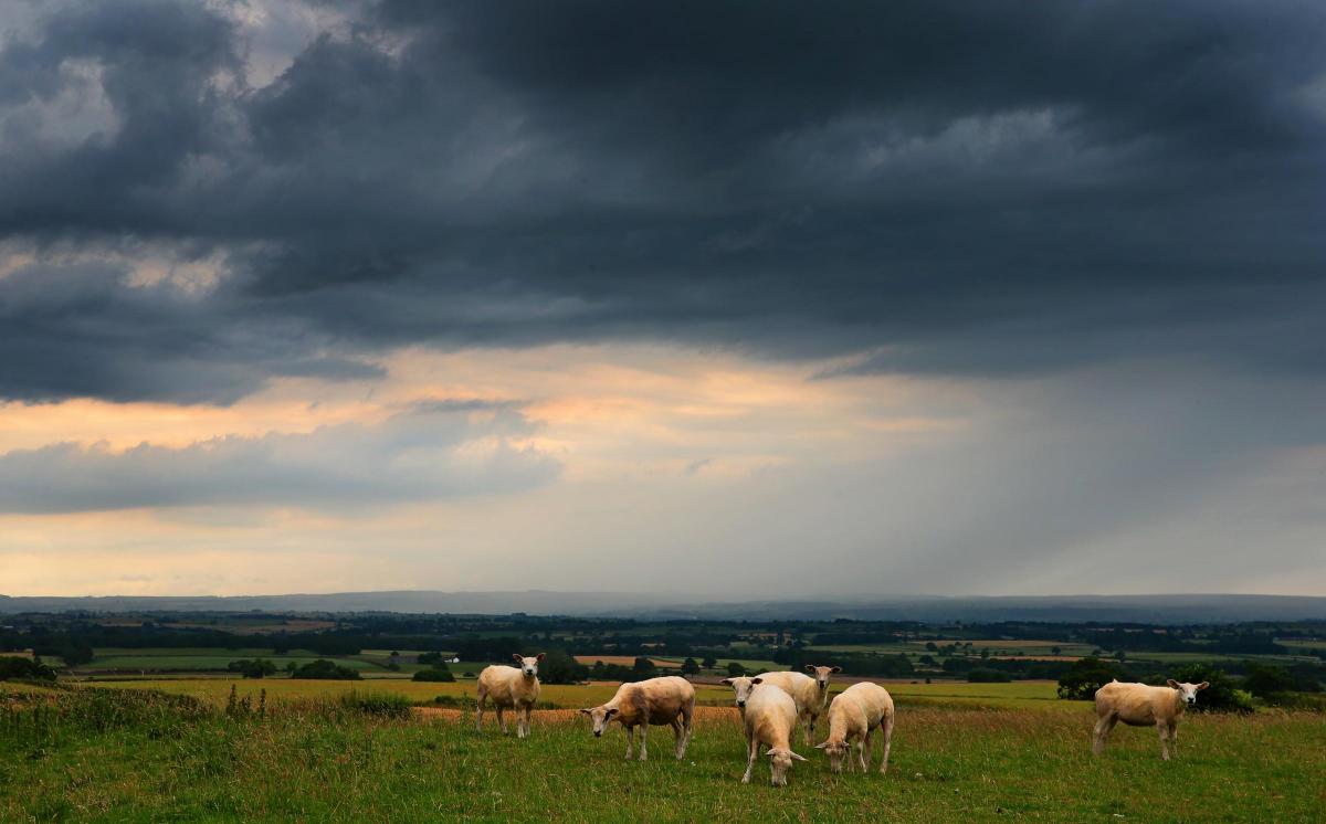
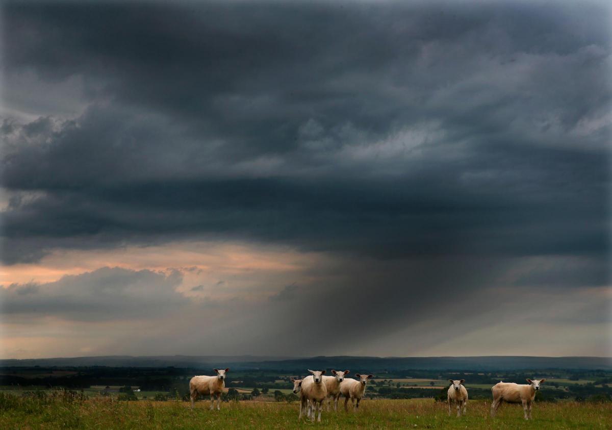
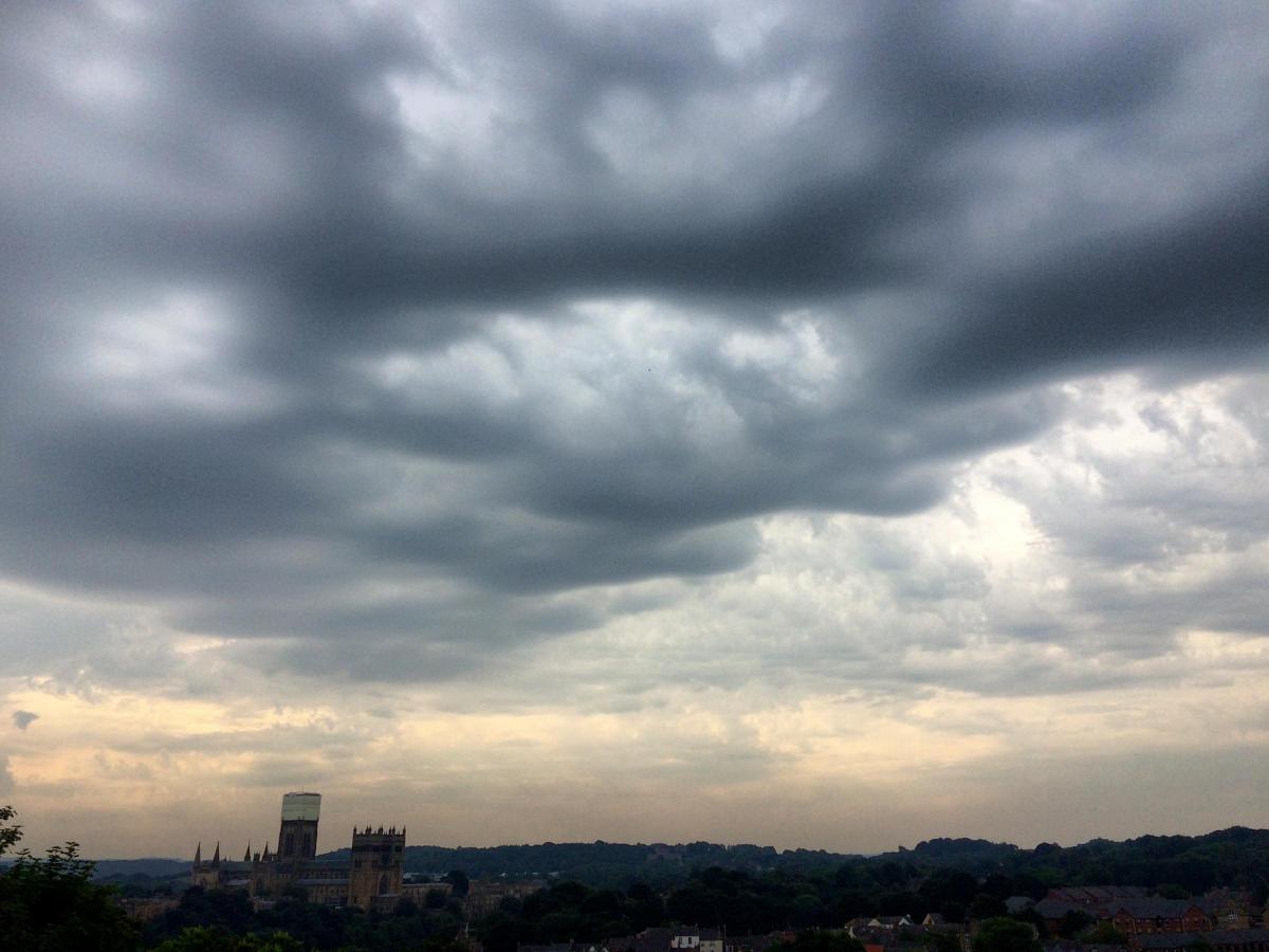

HEAVY thunder showers have hit parts of the North-East after the hottest day of the year.
Forecasters said temperatures were due to remain above average but should be cooler than on Tuesday when they reached a UK high 33.5C in Brize Norton, Oxfordshire.
The Met Offfice issued yellow warnings about the intense storms, including hail and strong winds, which could cause flash flooding across large areas of the UK.
There were lightning strikes across northern England and Scotland as intense thundery showers rolled across from the west coast.
Met Office meteorologist Alex Burkhill said: "We have had the hottest day of the year and we still have warm, humid conditions across much of the UK.
"There's heavy thundery showers across northern parts, with frequent lightning and intense downpours.

"Further south, there will still be local showers, some heavy, but the main picture is it being dry and hot again.
"On Thursday there will be some showers but not as heavy and it will be generally dry for many. There will be temperatures of 25-26C for some, which is above average."
He predicted that temperatures would have peaked following Tuesday's high, and the coming days and nights will feel fresher, bringing relief for those struggling to sleep.


Comments: Our rules
We want our comments to be a lively and valuable part of our community - a place where readers can debate and engage with the most important local issues. The ability to comment on our stories is a privilege, not a right, however, and that privilege may be withdrawn if it is abused or misused.
Please report any comments that break our rules.
Read the rules here