

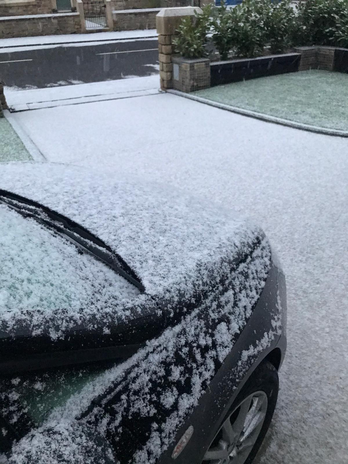
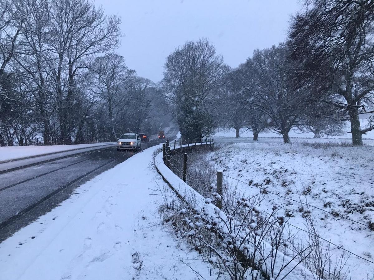


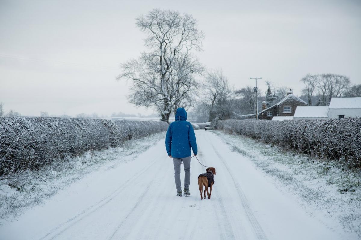
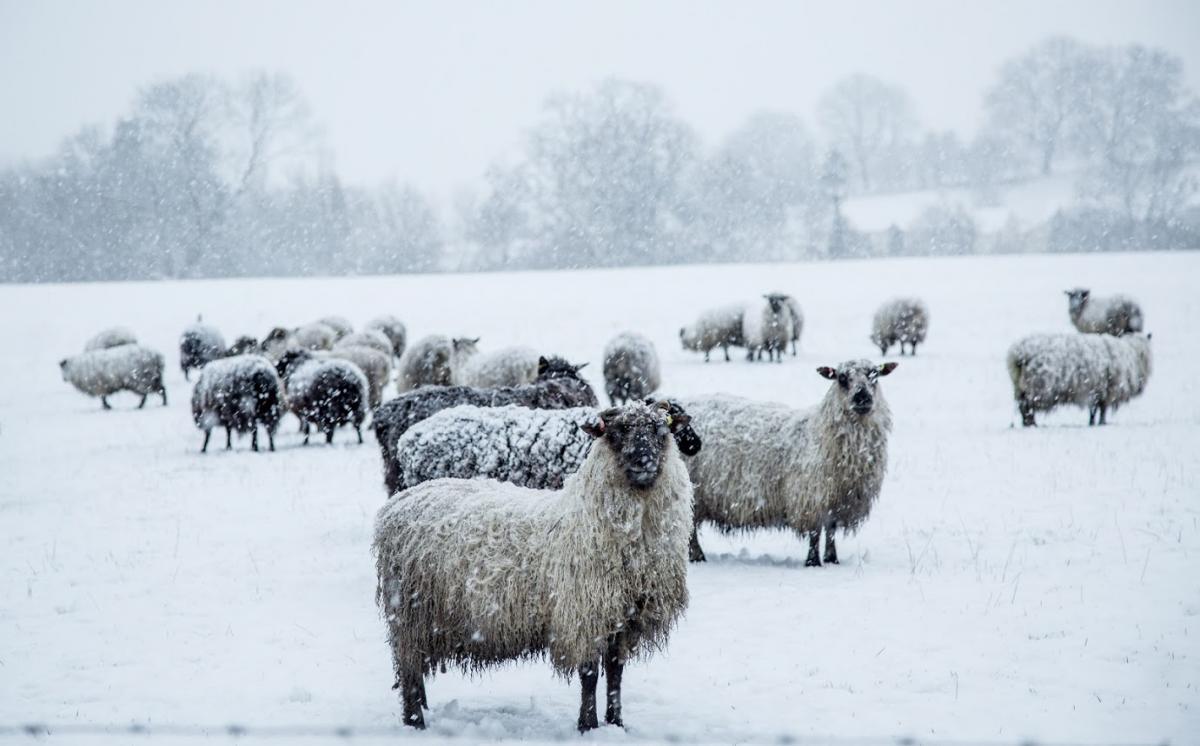
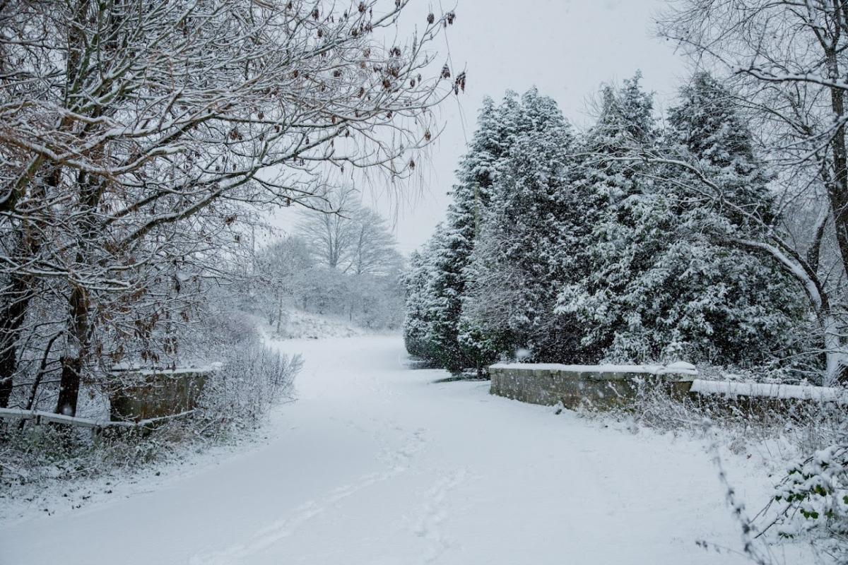
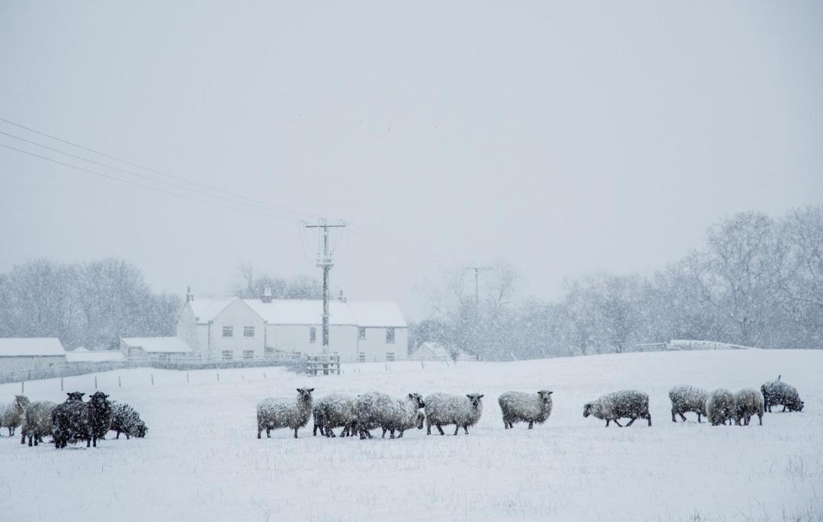
THE North-East woke to a flurry of snowfall as the country braces itself for a cold start to 2021 on top of the problems caused by the Covid-crisis.
Many inland areas of the region saw a covering of snow, as the temperature registered only 0-degrees by 9am in Durham.
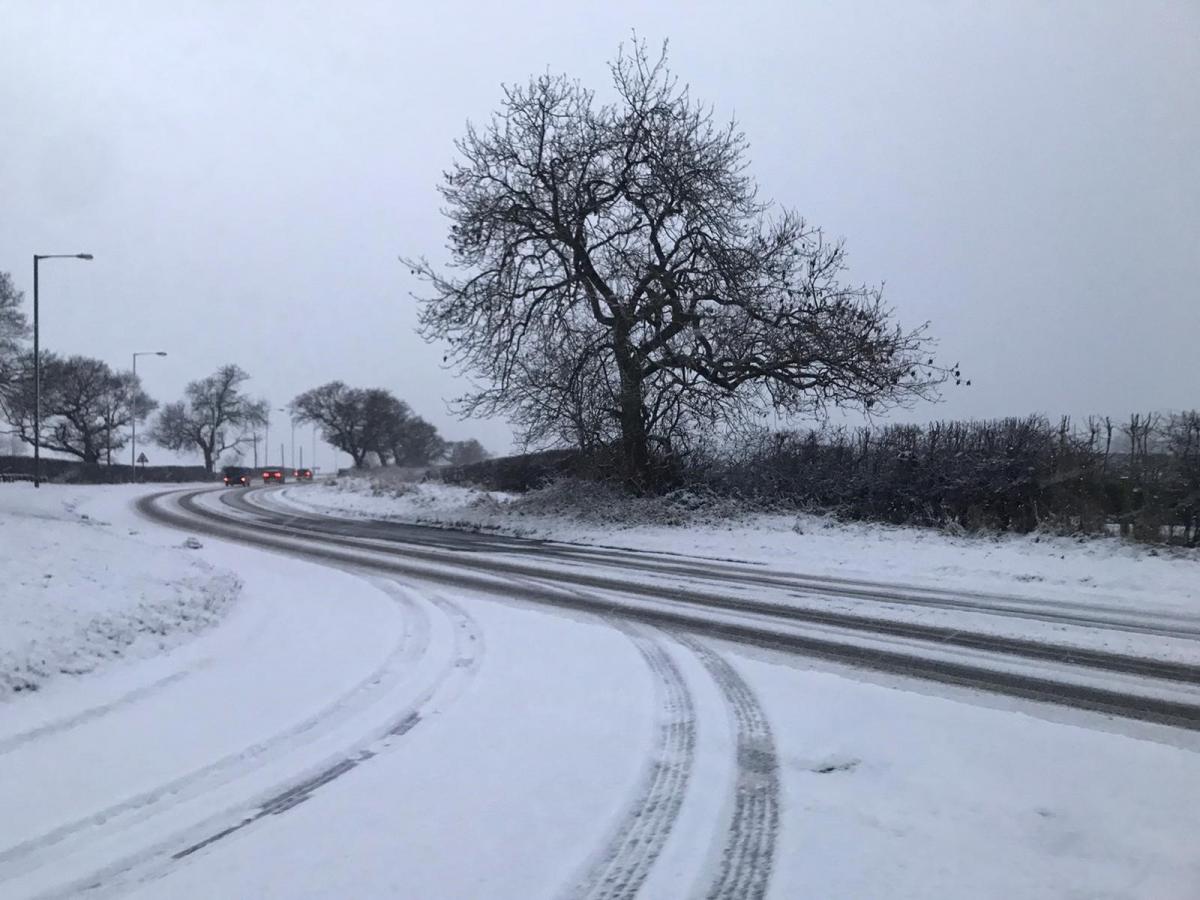
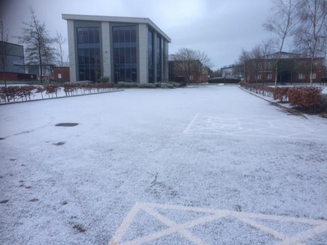
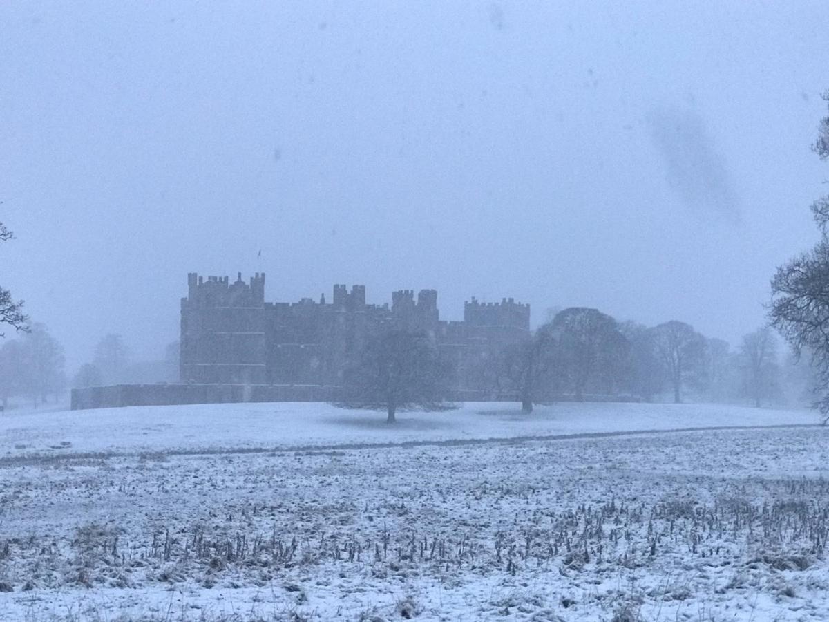
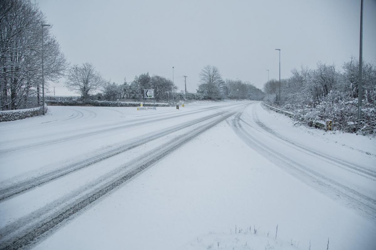
Similar scenes greeted many rural areas of North Yorkshire and other areas of the region.
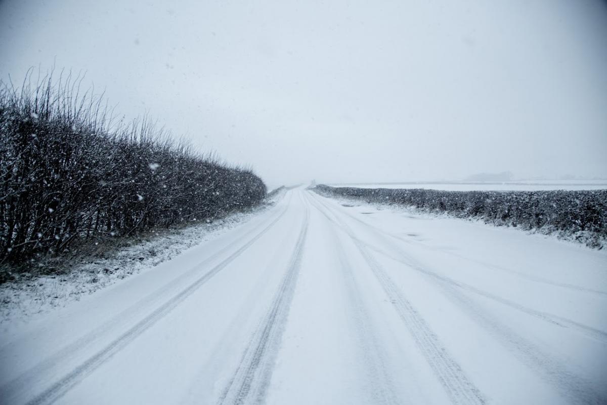
Motorists are being advised not to travel except where absolutely essential.
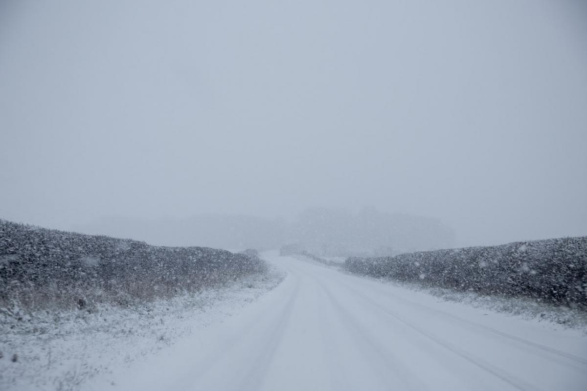
Conditions over high ground such as the North York Moors are particularly hazardous and the A171 Birkbrow near Guisborough was among the roads closed due to the dangerous conditions.
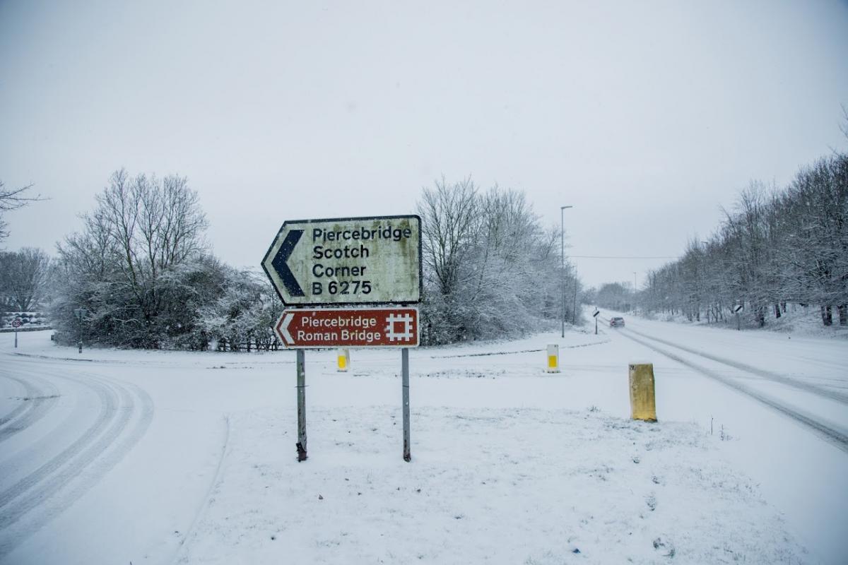
At around 1pm, one southbound lane of the A1 in North Yorkshire was closed due to an accident involving a lorry and a car involved.
It happened between junction 52 A6055 Catterick and junction 51 A684 Leeming Bar / Bedale.
The AA says that there is slow moving traffic on the A172 in North Yorkshire, heavy rain reported at lunchtime adding to the treacherous conditions.
Weather forecasters predict the country could be in for a brutal blast of cold weather for at least the first half of January.
The Met Office issued a yellow warning for ice and snow for the rest of the day, at least.
Some tabloid newspapers referred to the latest cold snap as the “New Beast from the East”, referring to the ice conditions that gripped the country in much of February and March in 2018.
BBC meteorologist Ben Rich predicted there is, “no real sign of things warming up anytime soon”.
He said with a change in wind next week it could spark “a big change” amid fears that temperatures could plummet to minus-10 degrees within days.
He told viewers: “This cold weather is going to be with us for at least the next few days, but more likely the next week or more.
“There will be some wintry showers at times.
“On the satellite picture from earlier, you can see speckled shower clouds brought down on this northerly wind.
“Where you see clear skies overnight, it is going to be very cold indeed.”
Temperature were expected to drop to minus-seven or eight degrees, in some sheltered spots.
“Even if you keep sunshine through the day, it will feel chilly.”
He predicted the top temperatures this afternoon will only reach between two to five-degrees across the country.
Mr Rich added: “On Sunday, there is a change. The wind changes shape and the wind direction changes, too.
“Instead of a northernly wind, it is going to be a north-easterly wind.
“It is a subtle shift, but it will focus the showers into eastern areas.
“That north-easterly wind will be quite brisk, so it is going to feel quite raw with temperatures feeling colder than four-degrees.
The Met Office confirmed the latest cold snap is set to continue into next week, with large parts of the country having wintry showers.
Overnight sub-zero temperatures will lead to icy conditions on the roads, with maximum daytime temperatures of five-degrees.


Comments: Our rules
We want our comments to be a lively and valuable part of our community - a place where readers can debate and engage with the most important local issues. The ability to comment on our stories is a privilege, not a right, however, and that privilege may be withdrawn if it is abused or misused.
Please report any comments that break our rules.
Read the rules hereLast Updated:
Report this comment Cancel