

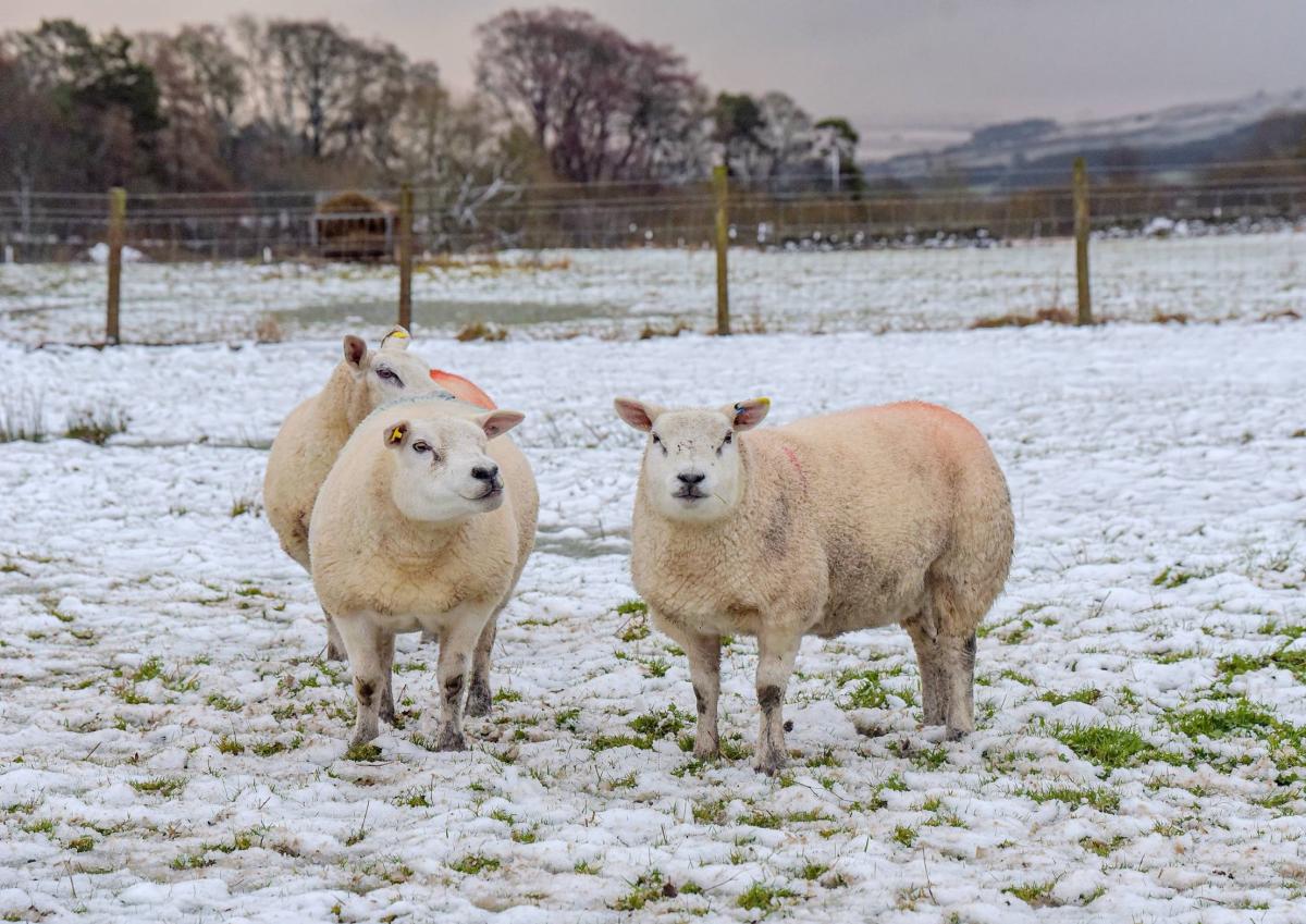
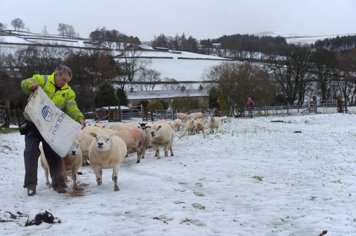
COLD conditions will continue over the weekend after hilly parts of County Durham and North Yorkshire were dusted with snow over the last 24-hours.
While Friday brought dramatic “thundersnow” to some parts of Scotland, and parts of our region woke up to wintry scenes, today's forecast for the North-East and North Yorkshire remains far calmer.
Much of the region has been bathed in bright sunshine throughout the morning, but forecasters said this afternoon will be cold and cloudy, with eastern areas seeing showers later with the chance of light snow on hilltops.

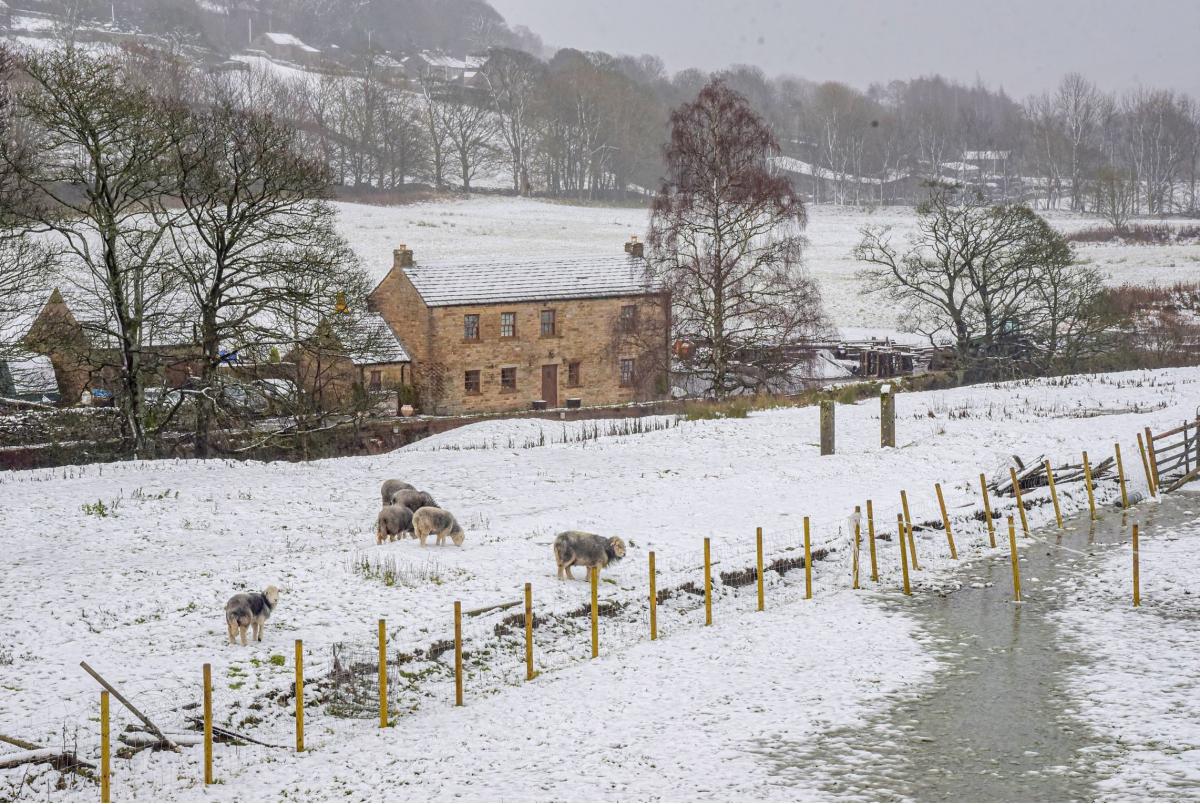
Winter scenes in Ireshopeburn, County Durham, on Friday Picture: NORTH NEWS
Figures are likely to remain in single figures throughout the region this weekend, forecasters say, with ice and frost likely overnight.
Meanwhile, heavy rain hit parts of the South West and southern Wales this morning.
The south has borne the brunt of heavy rainfall, with a yellow weather warning in place from the early hours, covering Marlborough, Salisbury, Southampton and parts of Winchester.
Steven Keates, an operational meteorologist at the Met Office, said those areas had seen the heaviest rainfall on Saturday morning of about 25 to 30mm.
A Yellow weather warning for rain remains in place for parts of eastern Scotland today.

Winter scenes in County Durham on Friday Picture: NORTH NEWS
Mr Keates said: “The wettest place in the last 24-hours has been Drumnadrochit on the shores of Loch Ness, that place has seen 48.6mm of rain.”
He added: “In summary, it’s a bit messy this weekend.
"It’s staying cold, gradually becoming a bit drier and we’ll switch our attention to some overnight frost, and I think tomorrow morning will see some dense freezing fog patches in places.”
The Met Office previously warned icy conditions are likely to persist at least until Tuesday.


Comments: Our rules
We want our comments to be a lively and valuable part of our community - a place where readers can debate and engage with the most important local issues. The ability to comment on our stories is a privilege, not a right, however, and that privilege may be withdrawn if it is abused or misused.
Please report any comments that break our rules.
Read the rules here