
AN excellent walk over the moors between Masham and Upper Nidderdale starting between two reservoirs and taking in some classic views.
The joy though is the lonely miles across moorland tracks.
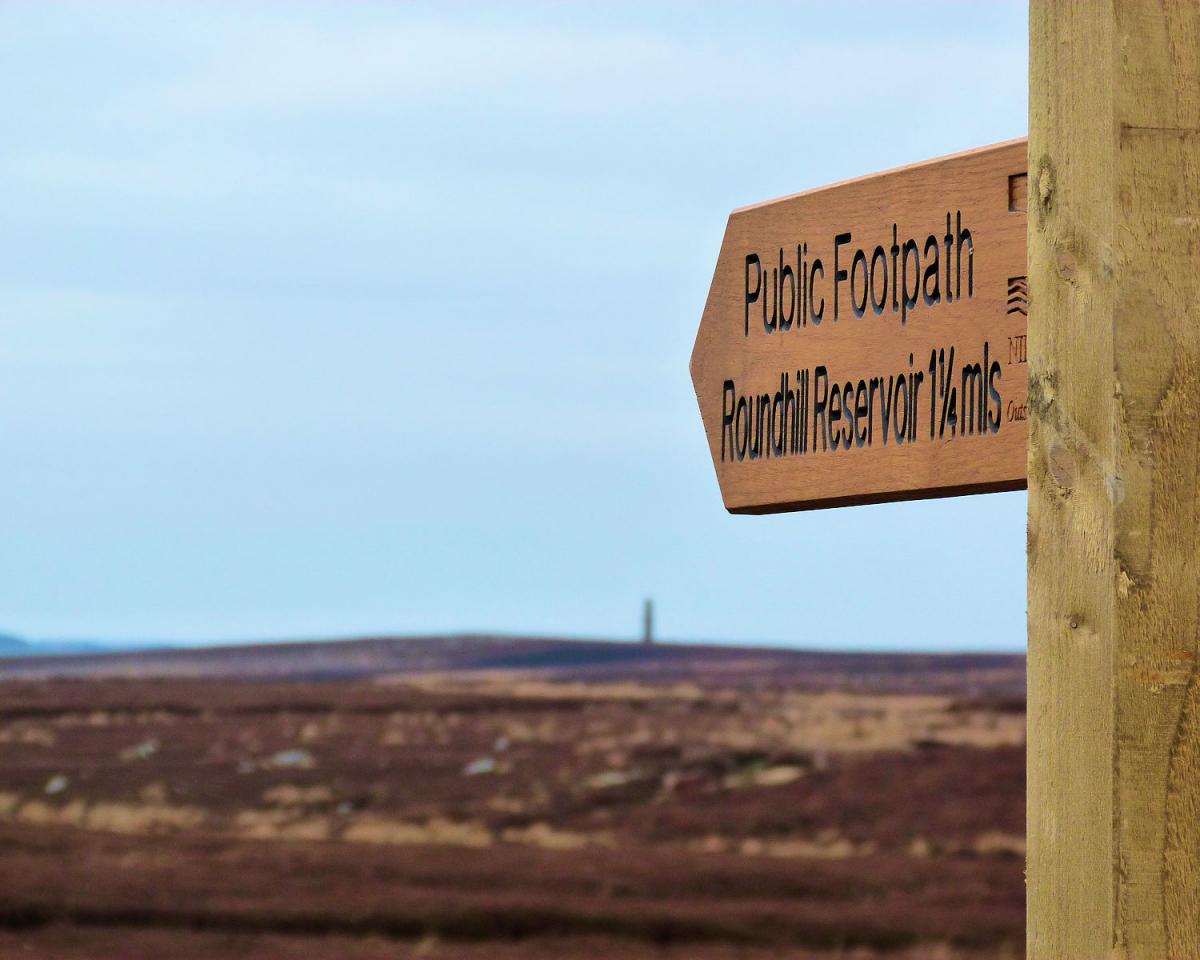
Four miles west of the lovely market town of Masham lie two reservoirs, Leighton and Roundhill.
The most northerly of the two, Leighton, is a compensation reservoir for the nearby River Ure whilst Roundhill helps supply Harrogate.
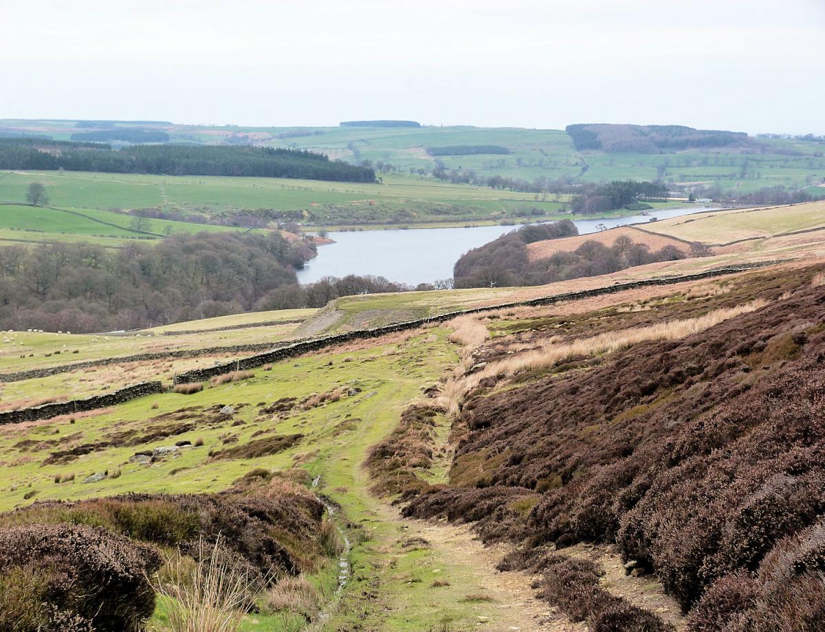
Start the walk at some parking just north of the inlet on the western bank of Leighton Reservoir. Head along the road round the inlet to a good track heading initially alongside Leighton before crossing the dam wall of Roundhill.
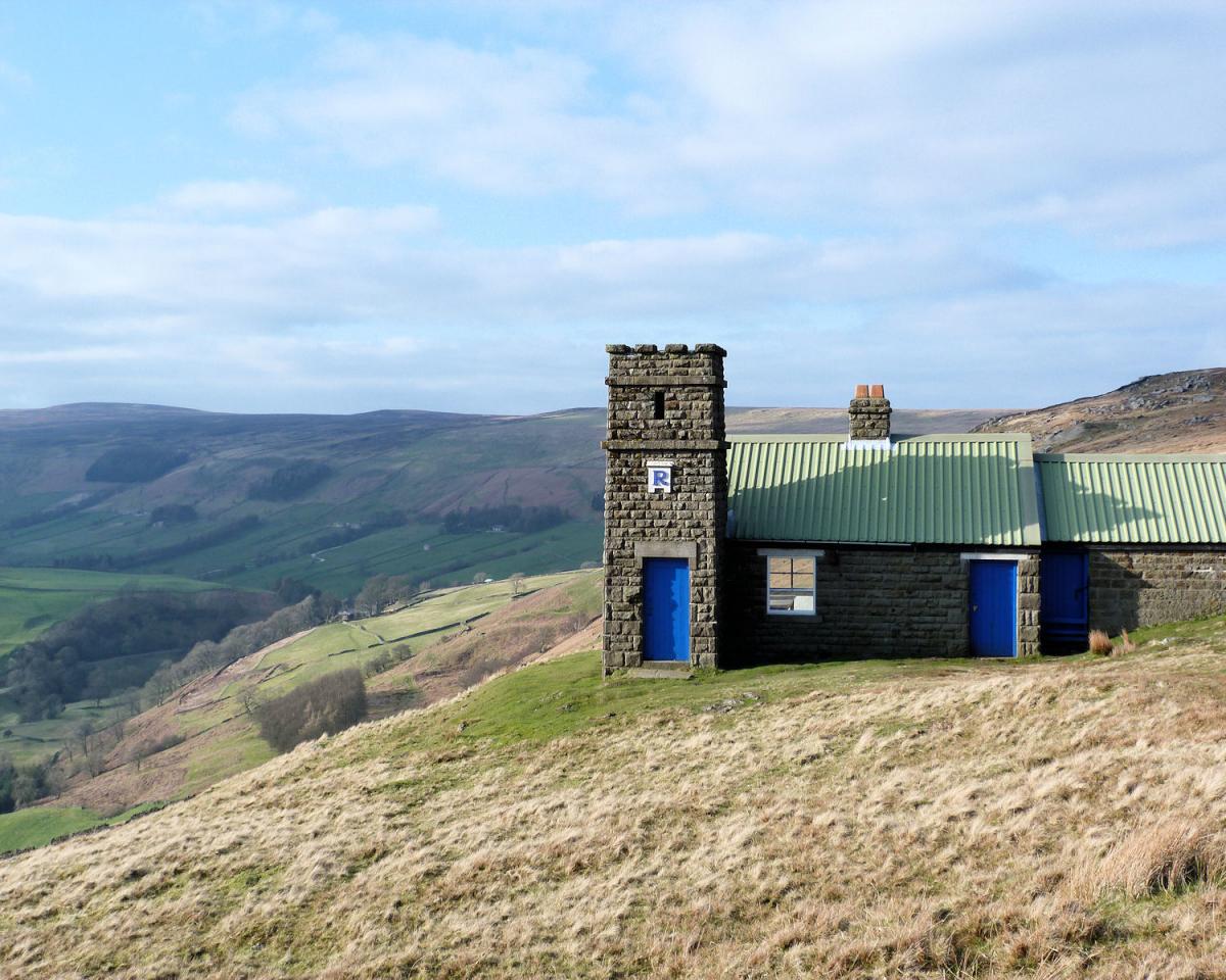
The large tower on the nearby moors is one of three sighting towers, planned to be used in the early 20th century when more reservoirs were planned.
Immediately after crossing the dam a footpath heads up the fellside, a steep 100 metre climb o a good public footpath. As the path turns south it enters access land but particularly at this time of the year the heather is high and the appeal to leave the path low!
After 1 12 miles the path meets a major shooting track heading east and west. At this point those with an explorers bent can make 2 detours. To the east the summit trig point of Sandy Hill is ½ a mile away (I am meeting increasing numbers of trig collectors) but more interestingly the folly of Arnagill Tower is in the deep gully to your right.
Follow the shooting track west for 2 miles. Ignore the track that meets it heading south after 1 of those miles and instead look around and enjoy the solitude of a classic moorland Dales scene. The track is excellent and largely flat and travels through the grouse moors like an arrow.
It is a good place to consider the benefits to the landscape of grouse shooting, it certainly is a memorable stretch of moorland. On meeting another track veer right for a further 400 metres (trig point collectors be aware there is another one to your right), cross a moorland road and carry on west to the rim of Nidderdale.
At this point the bridlepath turns north and follows the rim of Upper Nidderdale for in my opinion the most enjoyable mile of the walk. The views over Nidderdale are superb, south towards Pateley Bridge and west in to the wilds of the upper dale. Pass a well presented shooting house, stood pride over the cliffs. After the mile a meeting of paths means a turn for home, turn right (east) and start a long gradual drop towards the two reservoirs. The views here are also very impressive and offers a filip for tired legs. The path meets a moorland road after 1 ½ miles then turn left and follow the road down to the reservoir and your start point.
Jonathan Smith runs Where2walk, an outdoor business in the Yorkshire Dales. He has written his own book, the Dales 30, which describes the highest mountains in the Dales. He also runs one-day navigation courses for beginners and intermediates, and learn a skill, climb a hill weekends. To find out more details on any of the above and details of many more walks in the area visit where2walk.co.uk.

WALK FACTS
Distance: Roughly 10.5 miles (17km)
Height to Climb: 360m (1,180 feet)
Start: SE 158788. There is parking at the end of Shortbank Road or just walk from Skipton centre.
Difficulty: Medium/Hard. It is the length that makes this a hard walk, the majority of the walk is on excellent and easy tracks.
Refreshments: There is a choice of pubs and cafes in Masham 4 miles away.
Be Prepared: The route description and sketch map only provide a guide to the walk. You must take out and be able to read a map (O/S Explorer 298) and in cloudy/misty conditions a compass (essential on this walk). You must also wear the correct clothing and footwear for the outdoors. Whilst every effort is made to provide accurate information, walkers head out at their own risk.
Please observe the Countryside Code and park sensibly.


Comments: Our rules
We want our comments to be a lively and valuable part of our community - a place where readers can debate and engage with the most important local issues. The ability to comment on our stories is a privilege, not a right, however, and that privilege may be withdrawn if it is abused or misused.
Please report any comments that break our rules.
Read the rules hereLast Updated:
Report this comment Cancel