
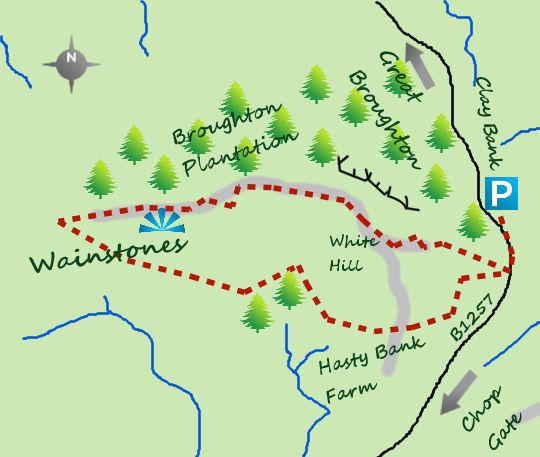
THE most dramatic scenery in the North York Moors lies to the north of the area and this short walk takes you along the airy crescent.
As well as the wild moors and great views the walk includes the interesting rocks of the Wainstones.
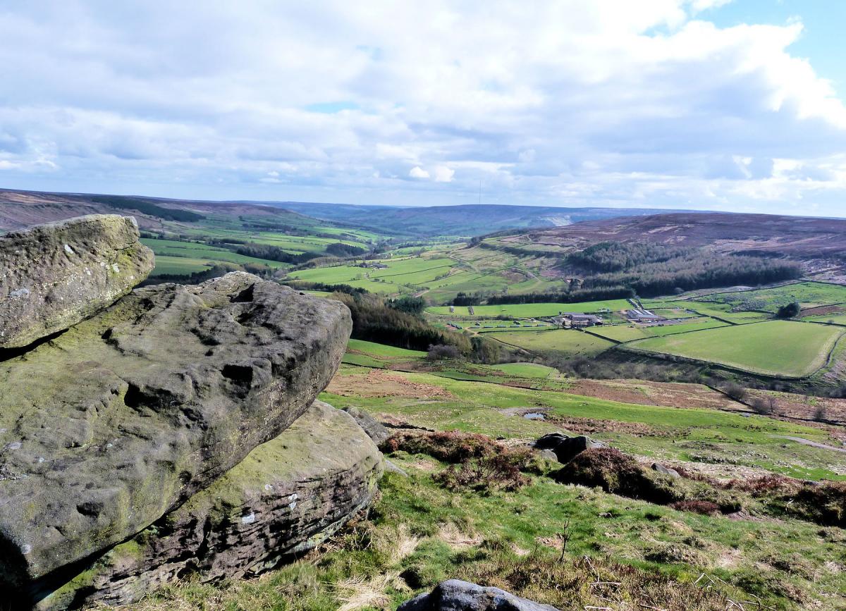
North of Stokesley the B1257 heads north through the pretty village of Great Broughton before climbing steeply to a car park near the summit of Clay Bank. Park here, turn up hill for 100 metres and then cross the road head west up a steep path through bracken and heather. It is nearly 500 feet to the high point, marked by a small cairn at White Hill. Arriving on the crest of the ridge is an exhilarating experience. You will definitely need a rest anyway so take a pew and enjoy the views. Although the industrial mass of Teesside dominates the area to the north, look west towards the Dales and east towards the North Sea to gain a wonderful panorama.
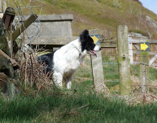
The path at this stage is excellent. Many boots have trampled along the sandstone, almost creating a beach in places, as they look to complete one of the many Long Distance Trails which follow the route. The Coast to Coast, Cleveland Way and one day (42 mile!) Lyke Wake Walk all pass this way, walkers usually heading east. From the cairn carry on the path for another 300 metres to the rock formation known as the Wainstones. The Wainstones are a collection of rocks which have resisted all that the British weather has thrown at it and provide an excellent playground for young and ld. The word ‘wain’ in Saxon can be interpreted as weeping or grieving but whether this is to do with some ancient graveyard is a matter of conjecture. Much of this area has ancient remains from the bronze age in particular.
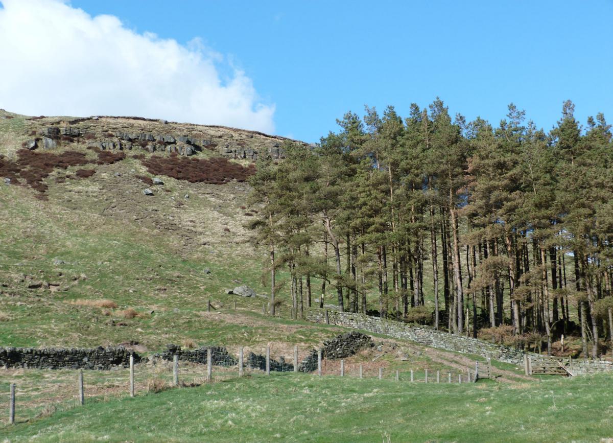
Having explored the Wainstones carry on east along the path which now starts to drop down 00 feet to a meeting of paths. Many will turn north in to the forest and follow a forest track back but much better is to turn left and almost double back on yourself by heading just south of west. This path is an absolute delight, clinging to the edge of Hasty Bank with the Wainstones above and stunning views to your right. The views south are of Bilsdale, the vale that cuts through the heart of the moors, it contrasts very well with the views earlier.
The path drops gradually, leaving the access land via a stile and along a wall before arriving above the farm of Garfitts. From the farm the path contours around the head of Bilsdale (the stream below you) before arriving at Hasty Bank Farm. The farm is notable for a 19th century stone and pantile (a type of stone fired clay tile) barn, unusual today. The path joins the farm track just beyond the farm and continues back to the road at the summit of Clay Bank. Turn left at the road and continue over the roads high point and back to the car park and your start point.
n Jonathan Smith runs Where2walk, an outdoor business in the Yorkshire Dales. He has written his own book, the “Dales 30” which describes the highest mountains in the Dales. He also runs 1 Day Navigation Courses for Beginners and Intermediates. Learn a Skill, Climb a Hill Weekends. To find out more details on any of the above and details of many more walks in the area visit where2walk. co.uk.
Fact Box
Distance: Roughly 3 miles
Height to Climb: 230m (750 feet)
Start: NZ 572036. A spacious car park run by the Forestry Commission.
Difficulty: Medium but easy away from the steep initial climb. The paths are good.
Refreshments: The Buck Inn at Chop Gate is 3 miles to the south, The Bay Horse in Great Broughton a similar distance to the north.
Be Prepared:
The route description and sketch map only provide a guide to the walk. You must take out and be able to read a map (O/S Explorer OL26) and in cloudy/misty conditions a compass. You must also wear the correct clothing and footwear for the outdoors. Whilst every effort is made to provide accurate information, walkers head out at their own risk.
Please observe the Countryside Code and park sensibly.


Comments: Our rules
We want our comments to be a lively and valuable part of our community - a place where readers can debate and engage with the most important local issues. The ability to comment on our stories is a privilege, not a right, however, and that privilege may be withdrawn if it is abused or misused.
Please report any comments that break our rules.
Read the rules here