

STRONG winds wreaked havoc across parts of the region on Friday night, as the first snows of winter fell in other areas of the North-East.
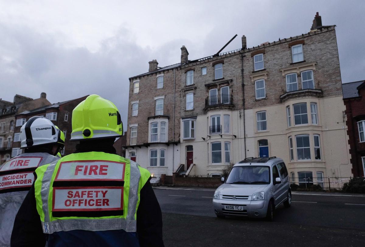
A roof was blown off a four-storey property on Marine Parade, Saltburn, with debris landing on cars in a neighbouring street.
Nobody was seriously injured.
The road between Amber and Pearl street has been closed as a result.
- Send your photos of storm damage or snow falls to newsdesk@nne.co.uk with your name and contact details.
Twenty-five people had to be evacuated from Seaview Nursing Home, Marine Parade, in the seaside town on Saturday morning due to problems with the roof.
Cleveland Fire Brigade received about 17 calls in total reporting roof problems.
Jack Parnell, a station manager at Cleveland Fire Brigade, said: “We were called to the scene at 4.15am this morning. There were approximately 70mph winds.
“The emergency services worked well together to evacuate a number of residents to a local church hall to keep the public safe and especially the vulnerable.
“We assisted nurse staff at a nursing home to carry out their emergency evacuation procedure to move residents to another care home.
“I left the scene at 6.50am. There were still heavy winds and lots of debris, some of the roofs had come away. I believe a number of cars had been damaged.”
Cordons have been put up to preventing public access to the area.
Mike Picknett, works for Cleveland Fire Brigade and the RNLI, tweeted at around 5am on Saturday morning: “Wind howling, busy with calls to structural damage to dwellings in East Cleveland.”
Later, a Cleveland Fire Brigade spokeswoman said: "There were about 17 calls in total to do with roofs in the Saltburn area.
"It seems Saltburn bore the brunt of the bad weather."
There were reports of the coast road being cordoned off by police, but no one was available to confirm what the situation was.
Damage in the street in Saltburn after the roof was blown off a building. Picture: Ian Forsyth/Getty Images

A Cleveland Police spokesman said: “We have been assisting in making sure the roads have been closed. Emergency services are dealing with the clear up and damaged cars.”
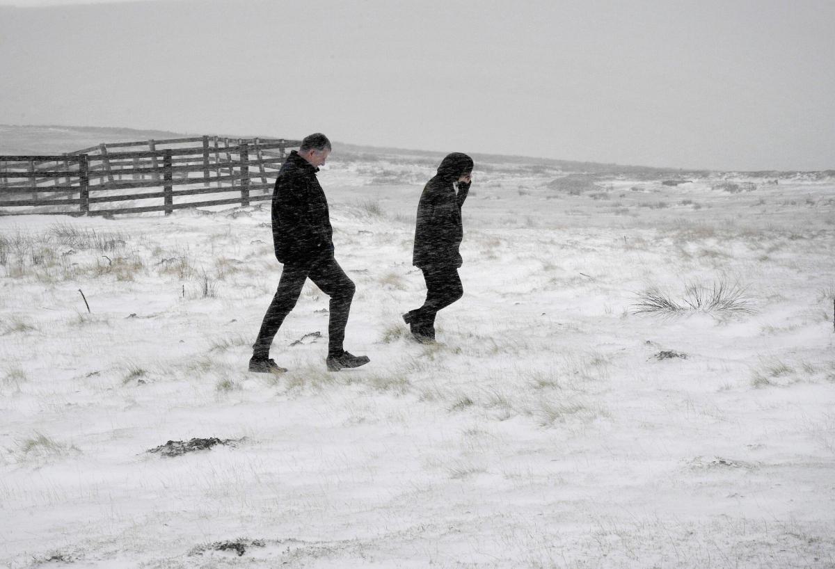
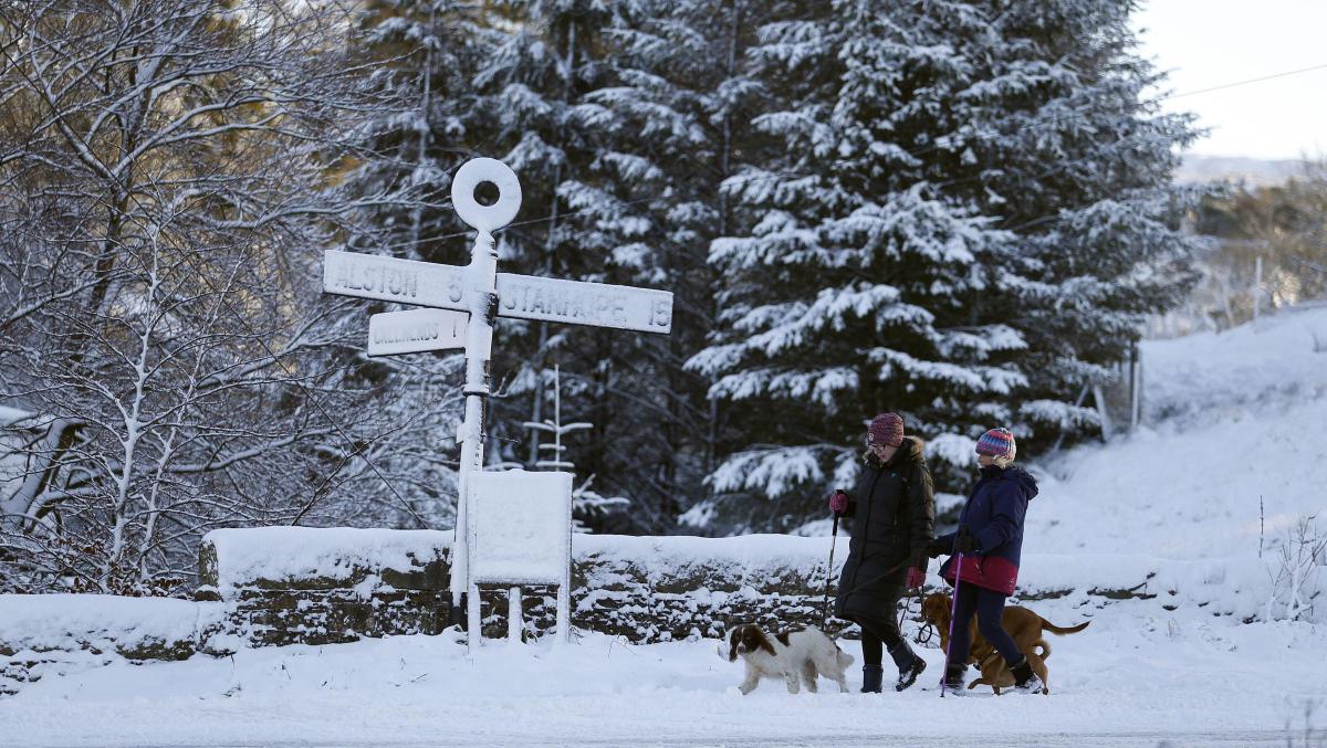
Elsewhere, parts of the UK saw a flurry of snow overnight at the start of a wintry weekend which could see temperatures plummet to minus 5C.
Snow showers were reported in parts of Northern England, Scotland, Wales and the Midlands.
Around 3am, North Yorkshire Police tweeted: "Snow is falling and settling in places."

A gritter passes Killhope mine in County Durham.
The force advised motorists to allow extra time for journeys.
Trees were also brought down across the region as strong winds and driving rain caused problems.
The risk of snow showers will lessen throughout the day.
But although southern areas of the UK will see highs of 6C today, parts of Scotland will struggle to rise above freezing, with temperatures across the country lower than normal for this time of year.

Photo posted by North Yorkshire Police traffic officer Andrew Ingram with the message: No sympathy for this driver. Frozen windscreen and tree down and drives into it
Durham County Council tweeted on Saturday morning: "Gritters were on standby countywide, going out where needed, from 4am this morning, please take extra care."
Billy Payne, a forecaster with MeteoGroup, said: "It will be a cold day, especially by recent standards, but even by the November average it will be cold."
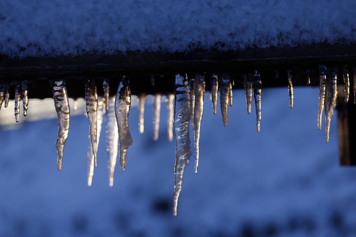
The cold snap comes in marked contrast to the recent mild weather which led to it being the second mildest start to November on record, and the Met Office has issued weather warnings for snow, wind or ice for most of the UK.

A tree being removed at Gargrave, North Yorkshire. Pic: Andrew Ingham via Twitter
There will be widespread frosts tonight and into Sunday with 65mph gales due to hit Devon, Cornwall and west Wales.
"The combination of rain, sleet and snow and dropping temperatures will also lead to a risk of ice in places, particularly over high level routes on Saturday morning," said a spokesman from the Met Office.
Frank Saunders, the Met Office's chief operational meteorologist, added: "The Met Office is forecasting strong winds and some snow for this weekend which means there is the likelihood of some difficult driving conditions and possible disruption to transport.

A snow-covered hillside at Killhope mine in Co Durham, as parts of the UK saw a flurry of snow overnight at the start of a wintry weekend which could see temperatures plummet to minus 5C.
"With this in mind, if you have travel plans over the weekend, we'd advise that you keep an eye on the forecast and warnings for your area."
But the cold spell is not set to last, with warmer weather predicted from Monday and rain spreading eastwards as temperatures rise.


Comments: Our rules
We want our comments to be a lively and valuable part of our community - a place where readers can debate and engage with the most important local issues. The ability to comment on our stories is a privilege, not a right, however, and that privilege may be withdrawn if it is abused or misused.
Please report any comments that break our rules.
Read the rules here