

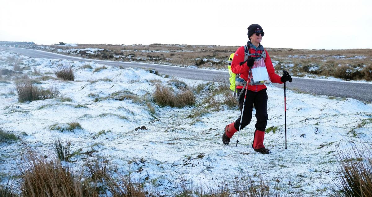
A BLAST of late winter weather brought snow and the chance to get the skis out in parts of the North of England.
Towns woke to a smattering of snow this (Tuesday) morning, and on the North York Moors there was a blanket of the white stuff which gave some adventurous souls the opportunity to leave their cars behind.
While there may be a bit more to come tomorrow (Wednesday), experts say the cold snap is set to ease by Thursday with temperatures on the rise by the end of the week.
Met Office meteorologist Alex Burkill said: "We are going to see plenty of showers. They could be intense at times and, as a result, that brings the risk of something wintry. The further north you are, the better chance you've got of catching a shower and a greater chance of any shower turning wintry."
And while snow alongside the fading daffodils and tulips of spring seems surprising the Met Office say it's not really that rare, in fact you don't have to go back that far to find snow showers on the weather maps.
"It is fairly uncommon but we have seen events like this before, you only have to go back as far as last year, we had snow as late as this, in fact it was April 26," added Mr Burkill.
He said night-time temperatures continue to be cold but not record-breaking with Redesdale Camp in Northumberland seeing the lowest recorded levels on Monday night at minus four.


Comments: Our rules
We want our comments to be a lively and valuable part of our community - a place where readers can debate and engage with the most important local issues. The ability to comment on our stories is a privilege, not a right, however, and that privilege may be withdrawn if it is abused or misused.
Please report any comments that break our rules.
Read the rules here