
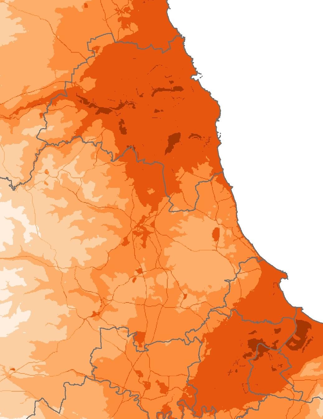
A NEW on-line health “atlas” has revealed striking patterns of disease in the region - including high rates of lung cancer but lower than average cases of skin cancer.
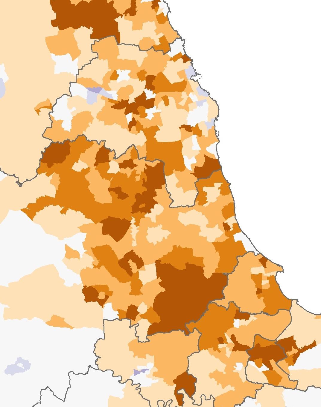
The high resolution maps covering England and Wales show stark variations in the risk of cancer and other diseases in different areas.
The maps, produced by the UK Small Area Health Statistics Unit at Imperial College London, reveal that lung cancer is far more common in the North-East and North-West of England than areas including Wales and the South-West.
A high concentration of mesothelioma cases - a cancer caused by exposure to asbestos - is evident across areas of Teesside and north Durham, as well as Tyneside and Wearside,
The maps reveal pockets where heart disease rates are far higher than elsewhere in the country, including the Middleton St George ward of Darlington, Sedgefield in County Durham and the Richmond and Catterick Garrison areas of North Yorkshire.
Many areas of County Durham and Teesside were also shown to have above average mortality rates of chronic obstructive pulmonary disease (COPD) - the name for a collection of lung diseases including chronic bronchitis and emphysema.
However, the region appeared to have a lower prevalence of other diseases and conditions, including skin cancer, liver disease and still births.
The skin cancer rates correlates with the low duration of sunshine for the region, which are revealed by the maps.
Pollution levels are also revealed with high concentrations of nitrogen dioxide - a gas produced by vehicles - recorded on Teesside, particularly in Middlesbrough, as well as Tyneside and Wearside.
The relative risks of cancers, including breast, prostate, brain and leukaemia were more similar across the country.
This is the first time in the UK that researchers have produced these maps with so much detail.
Dr Anna Hansell, from Imperial College London's school of public health, said: "The atlas is a fantastic tool for researchers, policy makers and the public.
“It connects people to health and environment at a neighbourhood level and provides resources to learn about these issues. It also allows us to identify the important questions that need answering about patterns of health and environment risk for future avenues of research."
Officials say that health maps provide an indication of the health risk for the area relative to the average for England and Wales but do not represent the risk for an individual living in that area.


Comments: Our rules
We want our comments to be a lively and valuable part of our community - a place where readers can debate and engage with the most important local issues. The ability to comment on our stories is a privilege, not a right, however, and that privilege may be withdrawn if it is abused or misused.
Please report any comments that break our rules.
Read the rules here